
| Prel. Rep. | Date | Time(UTC) | Time(Local) | Lat. | Lon. | Depth | Mag. | Region | Waveform |
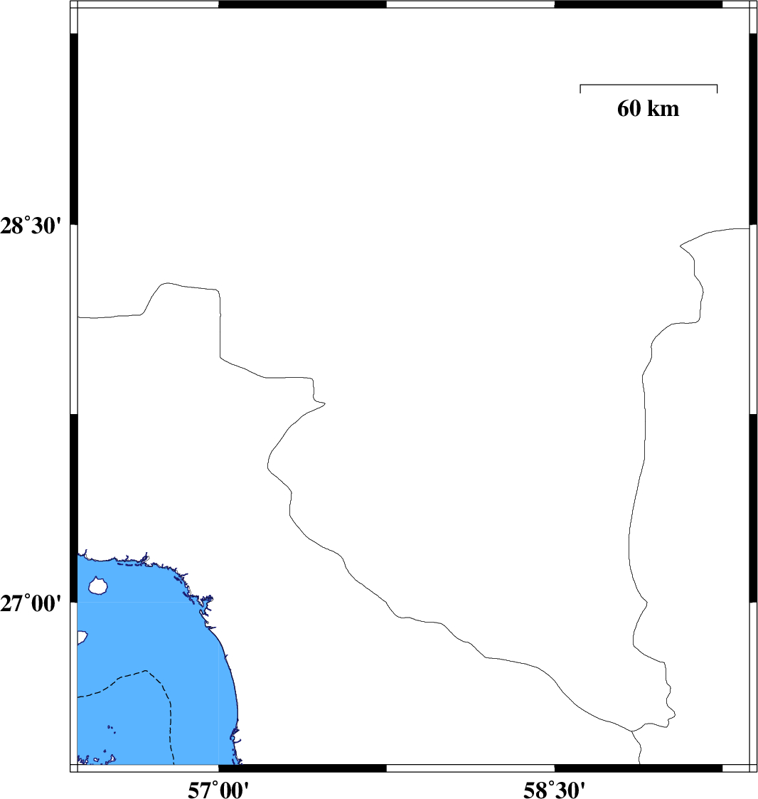
| 2014/07/30 | 07:46:13.7 | 12:16:13.7 | 27.85 | 57.87 | 16 | ML:3.3 | Kerman Province, 20 km South-East of Kahnuj | ||
| 2014/07/26 | 10:48:41.2 | 15:18:41.2 | 27 | 57.34 | 42 | ML:3.8 | Hormozgan Province, 31 km South-East of Minab | ||
| 2014/07/22 | 15:22:42.8 | 19:52:42.8 | 27.52 | 57.39 | 25 | ML:5 | Kerman Province, 16 km North-West of Manujan | ||
| 2014/07/15 | 18:42:05.1 | 23:12:05.1 | 28.84 | 57.14 | 46 | ML:3.4 | Kerman Province, 62 km North-West of Jiroft | ||
| 2014/07/14 | 20:59:59.6 | 01:29:59.6 | 28.06 | 57.09 | 14 | ML:3.1 | Kerman Province, 61 km North-West of Kahnuj | ||
| 2014/07/07 | 02:11:14.9 | 06:41:14.9 | 27.58 | 56.66 | 6 | ML:3.2 | Hormozgan Province, 60 km North-West of Dehbarez |

 IIEES All Rights Reserved