
| Prel. Rep. | Date | Time(UTC) | Time(Local) | Lat. | Lon. | Depth | Mag. | Region | Waveform |
| 2014/11/10 | 18:15:58.6 | 21:45:58.6 | 32.16 | 59.02 | 14 | ML:2.5 | Khorasan(south) Province, 85 km South-West of Birjand | ||
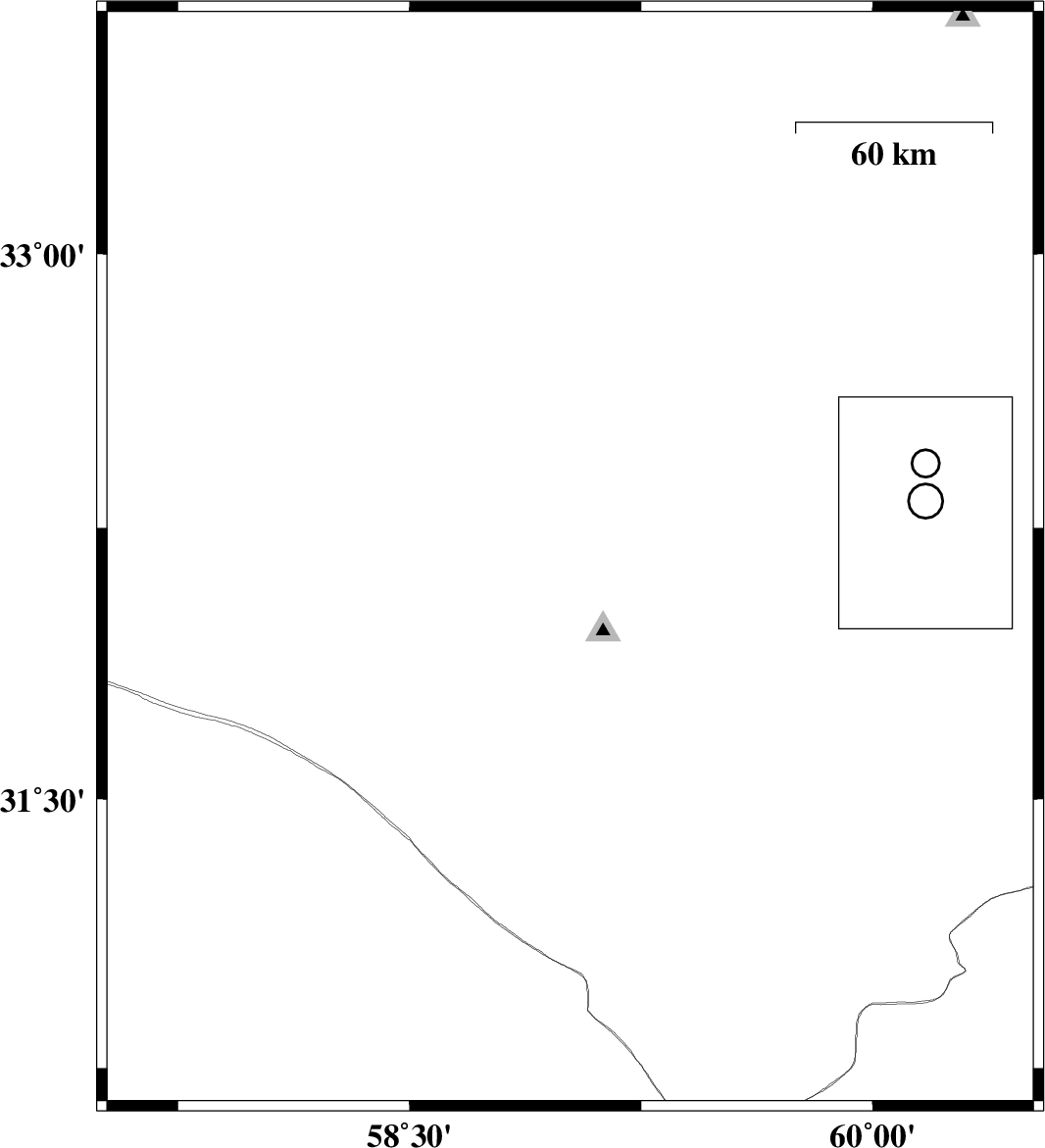
| 2014/11/09 | 15:52:38.6 | 19:22:38.6 | 33.05 | 60.28 | 14 | ML:3.3 | Khorasan(south) Province, 66 km North-East of Sarbisheh | ||
| 2014/11/03 | 16:00:16.9 | 19:30:16.9 | 30.9 | 57.57 | 14 | ML:3.2 | Kerman Province, 96 km East of Zarand | ||
| 2014/10/30 | 14:19:03.7 | 17:49:03.7 | 33.49 | 59.56 | 33 | ML:1.9 | Khorasan(south) Province, 43 km South-East of Qaen | ||
| 2014/10/30 | 12:33:54.1 | 16:03:54.1 | 32.06 | 58.92 | 14 | ML:2.4 | Khorasan(south) Province, 98 km South-West of Birjand | ||
| 2014/10/20 | 15:08:41.0 | 18:38:41.0 | 31.15 | 59.66 | 14 | ML:2.9 | Khorasan(south) Province, 56 km South-West of Nehbandan |

 IIEES All Rights Reserved