| Prel. Rep. | Date | Time(UTC) | Time(Local) | Lat. | Lon. | Depth | Mag. | Region | Waveform |
|
|
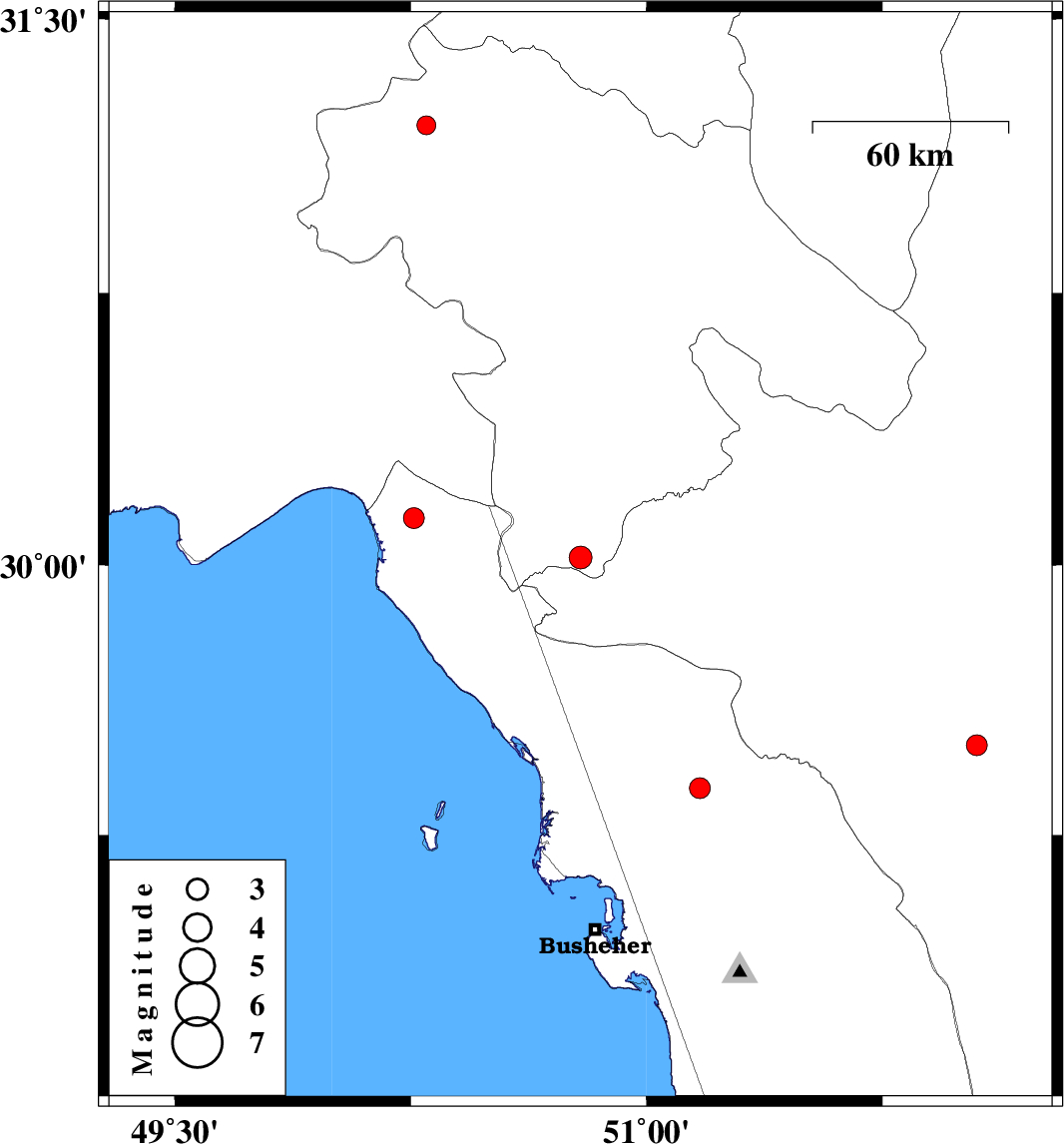
2014/12/07
|
14:37:35.5
|
18:07:35.5
| 30.02 | 50.79 | 14 |
ML:3.2
|
Kohkiluieh va boyerahmad Province, 38 km South of Dogonbadan | |
|
|
2014/12/03
|
09:41:26.2
|
13:11:26.2
| 29.5 | 52.05 | 15 |
ML:2.9
|
Fars Province, 40 km South-East of Kazerun | |
|
|
2014/11/15
|
19:29:27.4
|
22:59:27.4
| 30.13 | 50.26 | 31 |
ML:2.9
|
Khoozestan Province, 52 km South of Behbahan | |
|
|
2014/11/12
|
22:49:53.2
|
02:19:53.2
| 31.21 | 50.3 | 14 |
ML:2.7
|
Kohkiluieh va boyerahmad Province, 68 km North of Behbahan | |
|
|
2014/11/10
|
22:47:02.1
|
02:17:02.1
| 29.38 | 51.17 | 14 |
ML:3
|
Bushehr Province, 14 km North of Borazjan | |