Home / Recent Earthquakes

| Prel. Rep. | Date | Time(UTC) | Time(Local) | Lat. | Lon. | Depth | Mag. | Region | Waveform |
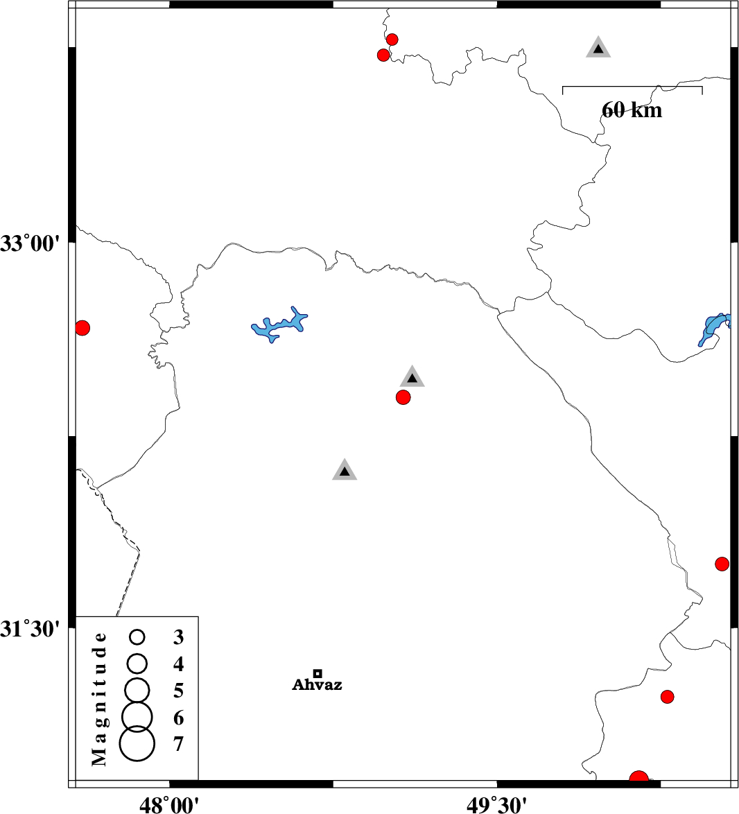
| 2015/03/08 | 03:40:22.8 | 07:10:22.8 | 32.4 | 49.07 | 34 | ML:3 | Khoozestan Province, 4 km Lali | ||
| 2015/03/03 | 17:58:13.1 | 21:28:13.1 | 32.67 | 47.6 | 14 | ML:3.1 | Ilam Province, 32 km East of Dehloran | ||
| 2015/03/03 | 08:17:53.4 | 11:47:53.4 | 31.75 | 50.53 | 18 | ML:2.8 | Chaharmahal Bakhtiari Province, 29 km South-West of Ardel | ||
| 2015/03/03 | 04:11:34.6 | 07:41:34.6 | 31.23 | 50.28 | 18 | ML:2.7 | Kohkiluieh va boyerahmad Province, 70 km North of Behbahan | ||
| 2015/03/02 | 21:40:29.4 | 01:10:29.4 | 33.72 | 48.98 | 28 | ML:2.5 | Lorestan Province, 28 km North of Dorud | ||
| 2015/03/02 | 18:02:27.1 | 21:32:27.1 | 33.78 | 49.02 | 18 | ML:2.4 | Markazi Province, 33 km North of Dorud | ||
| 2015/03/01 | 23:26:33.9 | 02:56:33.9 | 30.9 | 50.15 | 14 | ML:3.9 | Kohkiluieh va boyerahmad Province, 35 km North of Behbahan |