Home / Recent Earthquakes

| Prel. Rep. | Date | Time(UTC) | Time(Local) | Lat. | Lon. | Depth | Mag. | Region | Waveform |
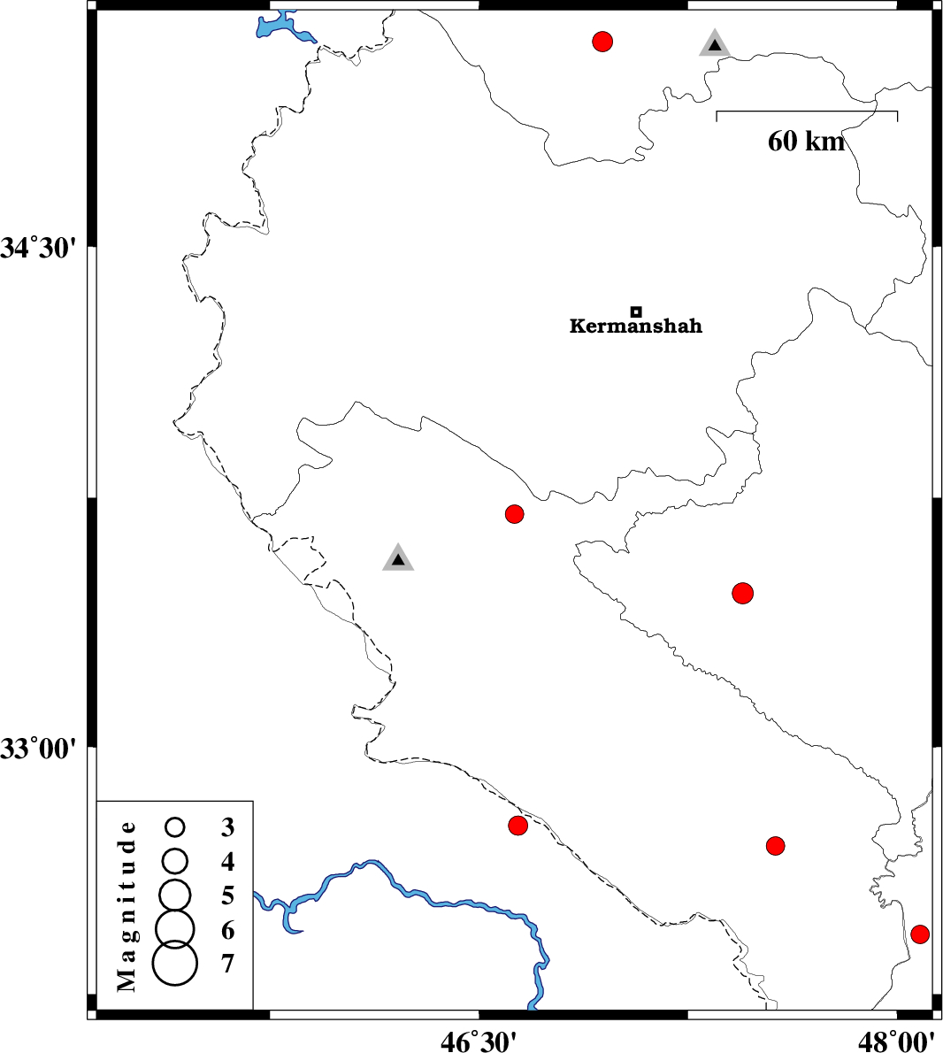
| 2015/08/10 | 19:15:15.8 | 23:45:15.8 | 33.701 | 46.627 | 14 | ML:2.9 | Ilam Province, 12 km of Sar Ableh | ||
| 2015/08/08 | 01:28:35.3 | 05:58:35.3 | 35.107 | 46.943 | 18 | ML:3.2 | Kurdistan Province, 24 km South of Sanandaj | ||
| 2015/08/06 | 03:37:45.8 | 08:07:45.8 | 32.431 | 48.083 | 32 | ML:2.9 | Khoozestan Province, 25 km -West of Andimeshk | ||
| 2015/08/03 | 15:25:12.5 | 19:55:12.5 | 32.7 | 47.564 | 14 | ML:2.9 | Ilam Province, 28 km -East of Dehloran | ||
| 2015/07/21 | 07:40:10.7 | 12:10:10.7 | 32.762 | 46.64 | 15 | ML:3.1 | Iraq, 59 km -West of Dehloran | ||
| 2015/07/15 | 15:41:57.3 | 20:11:57.3 | 33.464 | 47.447 | 14 | ML:3.4 | Lorestan Province, 17 km -West of Kuhdasht |