Home / Recent Earthquakes

| Prel. Rep. | Date | Time(UTC) | Time(Local) | Lat. | Lon. | Depth | Mag. | Region | Waveform |
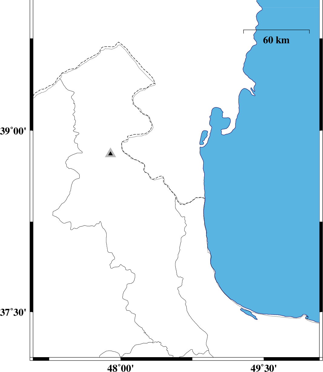
| 2017/01/27 | 20:42:36.6 | 00:12:36.6 | 38.619 | 48.582 | 18 | ML:2.5 | Azerbaijan, 23 km North-East of Namin | ||
| 2017/01/12 | 15:07:53.0 | 18:37:53.0 | 38.078 | 47.983 | 15 | ML:2.7 | Ardebil Province, 13 km -West of Nir | ||
| 2017/01/11 | 16:40:38.3 | 20:10:38.3 | 38.765 | 48.82 | 17 | ML:3 | Azerbaijan, 38 km North of Astara | ||
| 2016/12/29 | 13:01:49.7 | 16:31:49.7 | 38.746 | 48.773 | 15 | ML:3.4 | Azerbaijan, 37 km North of Astara |