Home / Recent Earthquakes

| Prel. Rep. | Date | Time(UTC) | Time(Local) | Lat. | Lon. | Depth | Mag. | Region | Waveform |
| 2017/04/29 | 17:31:14.6 | 22:01:14.6 | 34.073 | 59.741 | 12 | ML:3.3 | Khorasan(center) Province, 62 km North-East of Qaen | ||
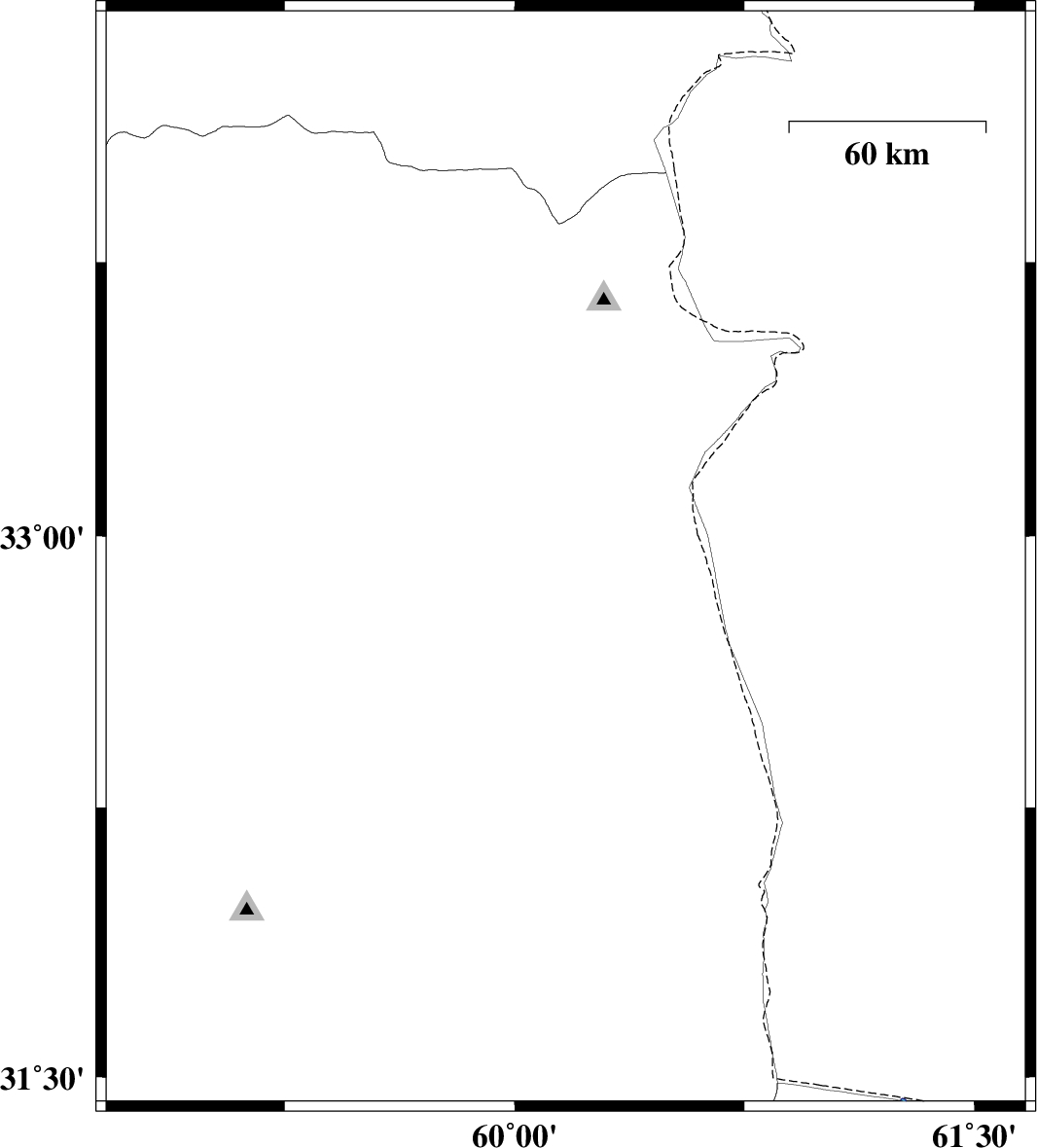
| 2017/04/29 | 10:13:29.6 | 14:43:29.6 | 32.933 | 60.167 | 14 | ML:2.5 | Khorasan(south) Province, 49 km North-East of Sarbisheh | ||
| 2017/04/07 | 05:38:07.9 | 10:08:07.9 | 31.728 | 60.177 | 16 | ML:2.6 | Khorasan(south) Province, 25 km North-East of Nehbandan | ||
| 2017/04/04 | 15:49:25.2 | 20:19:25.2 | 31.788 | 60.148 | 14 | ML:2.8 | Khorasan(south) Province, 30 km North-East of Nehbandan | ||
| 2017/04/04 | 10:00:18.7 | 14:30:18.7 | 31.843 | 60.106 | 15 | ML:4.3 | Khorasan(south) Province, 35 km North of Nehbandan | ||
| 2017/04/04 | 08:06:23.5 | 12:36:23.5 | 32.83 | 58.83 | 16 | ML:2.7 | Khorasan(south) Province, 38 km -West of Birjand | ||
| 2017/04/04 | 06:05:38.0 | 10:35:38.0 | 31.781 | 60.165 | 6 | ML:3.4 | Khorasan(south) Province, 30 km North-East of Nehbandan | ||
| 2017/04/04 | 00:12:48.0 | 04:42:48.0 | 31.772 | 60.208 | 15 | ML:4.6 | Khorasan(south) Province, 31 km North-East of Nehbandan |