Home / Recent Earthquakes

| Prel. Rep. | Date | Time(UTC) | Time(Local) | Lat. | Lon. | Depth | Mag. | Region | Waveform |
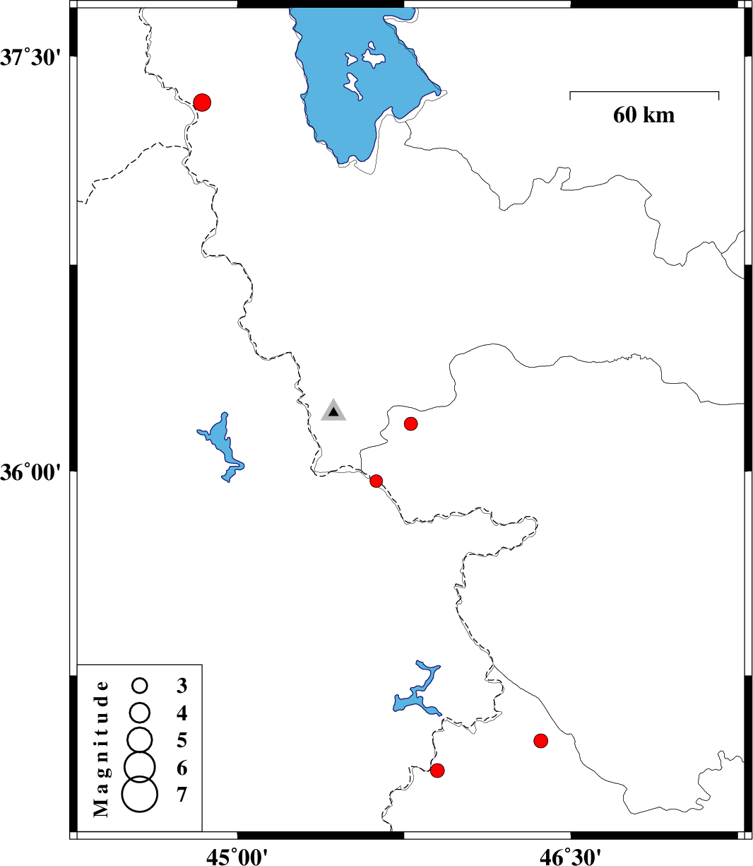
| 2017/10/20 | 19:41:04.7 | 23:11:04.7 | 36.173 | 45.78 | 14 | ML:2.7 | Kurdistan Province, 23 km North-West of Baneh | ||
| 2017/10/08 | 19:26:37.5 | 22:56:37.5 | 34.9 | 45.9 | 14 | ML:2.8 | Kermanshah Province, 16 km North of Tazehabad | ||
| 2017/10/03 | 00:45:26.0 | 04:15:26.0 | 35.009 | 46.364 | 16 | ML:2.8 | Kermanshah Province, 5 km of Paveh | ||
| 2017/09/26 | 06:57:02.1 | 10:27:02.1 | 37.333 | 44.842 | 14 | ML:3.5 | Azarbaijan Gharbi Province, 31 km South-West of Orumiyeh | ||
| 2017/09/21 | 05:47:11.6 | 10:17:11.6 | 35.964 | 45.625 | 14 | ML:2.5 | Kurdistan Province, 24 km -West of Baneh |