Home / Recent Earthquakes

| Prel. Rep. | Date | Time(UTC) | Time(Local) | Lat. | Lon. | Depth | Mag. | Region | Waveform |
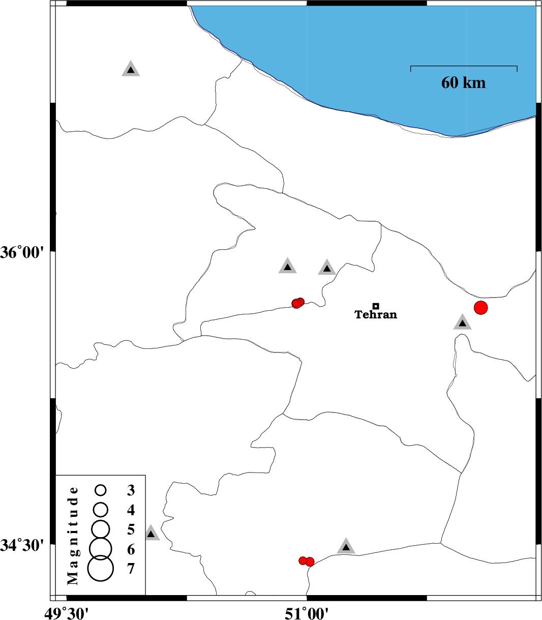
| 2017/12/03 | 21:40:20.8 | 01:10:20.8 | 35.735 | 50.93 | 14 | ML:1.9 | Tehran Province, 8 km of Karaj | ||
| 2017/12/02 | 23:41:06.6 | 03:11:06.6 | 35.733 | 50.935 | 15 | ML:2.7 | Tehran Province, 8 km of Karaj | ||
| 2017/11/30 | 12:52:46.1 | 16:22:46.1 | 35.739 | 50.952 | 15 | ML:2.3 | Tehran Province, 7 km of Karaj | ||
| 2017/11/30 | 00:19:35.8 | 03:49:35.8 | 35.713 | 52.086 | 6 | ML:3.8 | Tehran Province, 1 km of Damavand | ||
| 2017/11/29 | 01:06:17.1 | 04:36:17.1 | 34.414 | 50.974 | 18 | ML:2.3 | Qom Province, 28 km South-East of Qom | ||
| 2017/11/29 | 00:51:33.7 | 04:21:33.7 | 34.409 | 51.018 | 18 | ML:2.5 | Qom Province, 30 km South-East of Qom | ||
| 2017/11/28 | 07:40:18.2 | 11:10:18.2 | 35.742 | 50.958 | 15 | ML:2.3 | Tehran Province, 7 km of Karaj |