Home / Recent Earthquakes

| Prel. Rep. | Date | Time(UTC) | Time(Local) | Lat. | Lon. | Depth | Mag. | Region | Waveform |
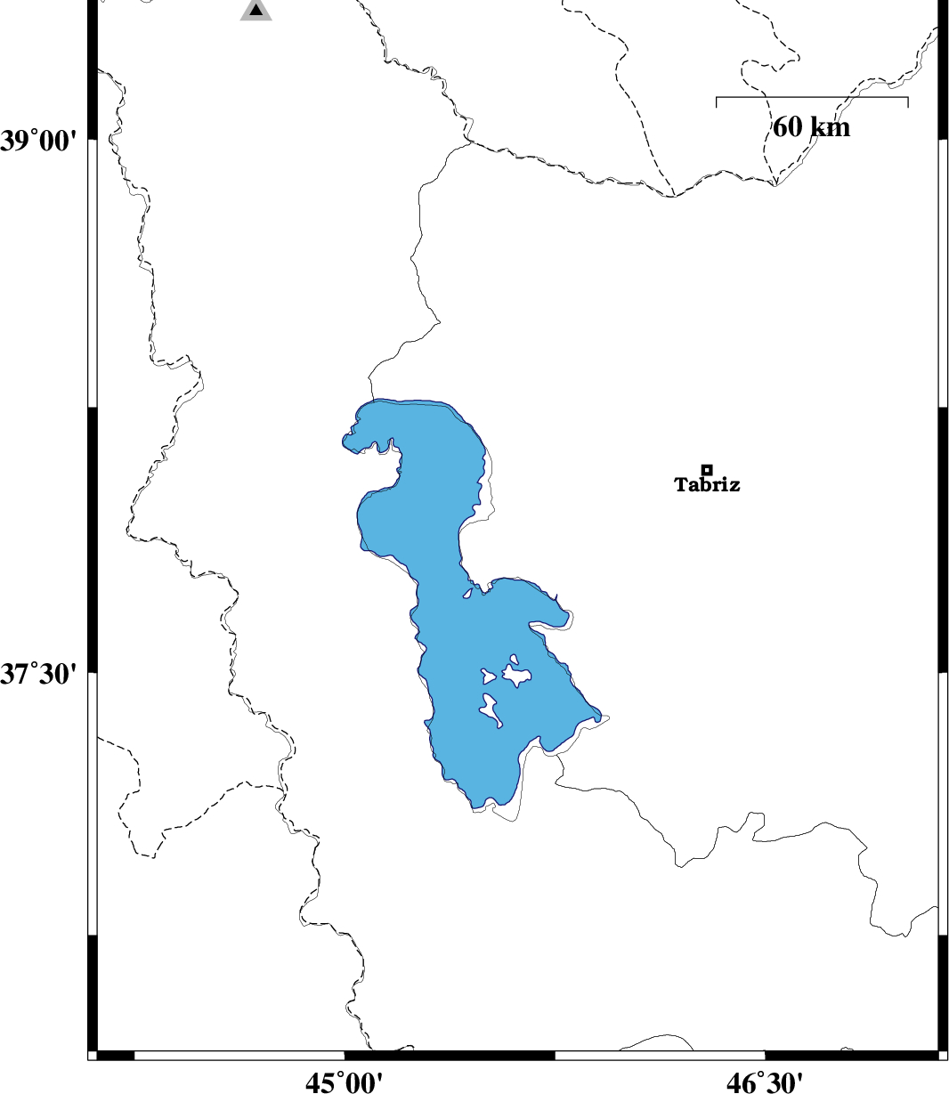
| 2018/02/04 | 01:48:50.4 | 05:18:50.4 | 37.917 | 45.617 | 14 | ML:2 | Azarbaijan Sharghi Province, 30 km South of Shabestar | ||
| 2018/02/03 | 21:44:54.3 | 01:14:54.3 | 36.536 | 44.605 | 14 | ML:3.1 | Iraq, 51 km South-West of Piranshahr | ||
| 2018/02/01 | 23:31:08.1 | 03:01:08.1 | 38.415 | 46.765 | 17 | ML:2.9 | Azarbaijan Sharghi Province, 28 km -West of Ahar |