Home / Recent Earthquakes

| Prel. Rep. | Date | Time(UTC) | Time(Local) | Lat. | Lon. | Depth | Mag. | Region | Waveform |
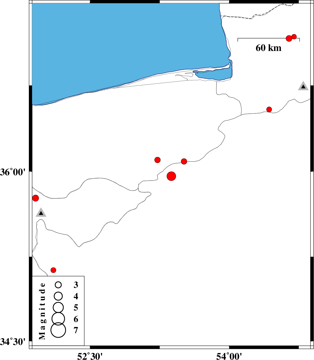
| 2018/03/20 | 02:40:22.5 | 06:10:22.5 | 35.959 | 53.376 | 15 | ML:4.4 | Semnan Province, 44 km North of Semnan | ||
| 2018/03/13 | 21:40:49.5 | 01:10:49.5 | 35.131 | 52.104 | 14 | ML:2.6 | Semnan Province, 23 km -West of Garmsar | ||
| 2018/03/05 | 01:49:22.7 | 05:19:22.7 | 36.1 | 53.227 | 14 | ML:2.8 | Mazandaran Province, 15 km -East of Pol-E-Sefid | ||
| 2018/03/02 | 03:01:45.5 | 06:31:45.5 | 37.171 | 54.699 | 6 | ML:2.4 | Golestan Province, 28 km North-East of Aq Qaleh | ||
| 2018/02/24 | 07:59:23.3 | 11:29:23.3 | 36.087 | 53.512 | 15 | ML:2.8 | Mazandaran Province, 41 km -East of Pol-E-Sefid | ||
| 2018/02/23 | 07:33:05.1 | 11:03:05.1 | 36.541 | 54.431 | 14 | ML:2.5 | Golestan Province, 33 km South of Gorgan | ||
| 2018/02/21 | 10:14:28.7 | 13:44:28.7 | 37.156 | 54.644 | 16 | ML:3 | Golestan Province, 23 km North-East of Aq Qaleh | ||
| 2018/02/20 | 22:43:52.6 | 02:13:52.6 | 35.766 | 51.912 | 8 | ML:3.1 | Tehran Province, 16 km -West of Damavand | ||
| 2018/02/18 | 15:19:07.7 | 18:49:07.7 | 34.513 | 52.169 | 16 | ML:1.8 | Semnan Province, 80 km South-West of Garmsar |