
| Prel. Rep. | Date | Time(UTC) | Time(Local) | Lat. | Lon. | Depth | Mag. | Region | Waveform |
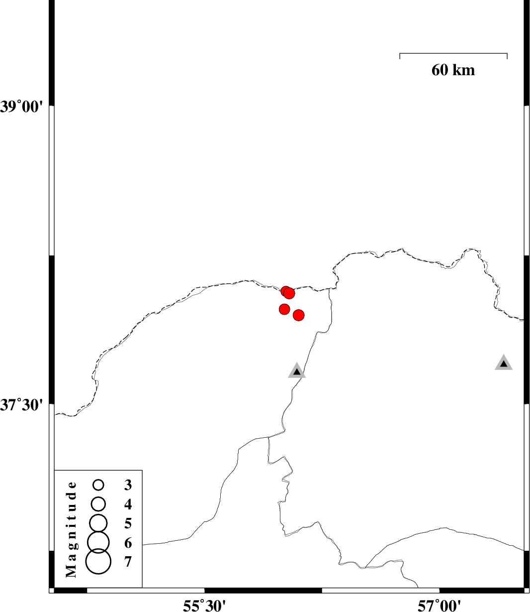
| 2020/10/04 | 18:14:15.1 | 21:44:15.1 | 38.06 | 56.04 | 10 | ML:3.2 | Golestan Province, 90 km North-East of Kalaleh | ||
| 2020/09/30 | 04:47:11.3 | 08:17:11.3 | 37.95 | 56.1 | 10 | ML:3.2 | Golestan Province, 83 km North-East of Kalaleh | ||
| 2020/09/29 | 04:36:35.8 | 08:06:35.8 | 38.07 | 56.02 | 10 | ML:3 | Golestan Province, 90 km North-East of Kalaleh | ||
| 2020/09/28 | 20:08:30.2 | 23:38:30.2 | 37.98 | 56.01 | 10 | ML:3.1 | Golestan Province, 81 km North-East of Kalaleh |

 IIEES All Rights Reserved