Home / Recent Earthquakes

| Prel. Rep. | Date | Time(UTC) | Time(Local) | Lat. | Lon. | Depth | Mag. | Region | Waveform |
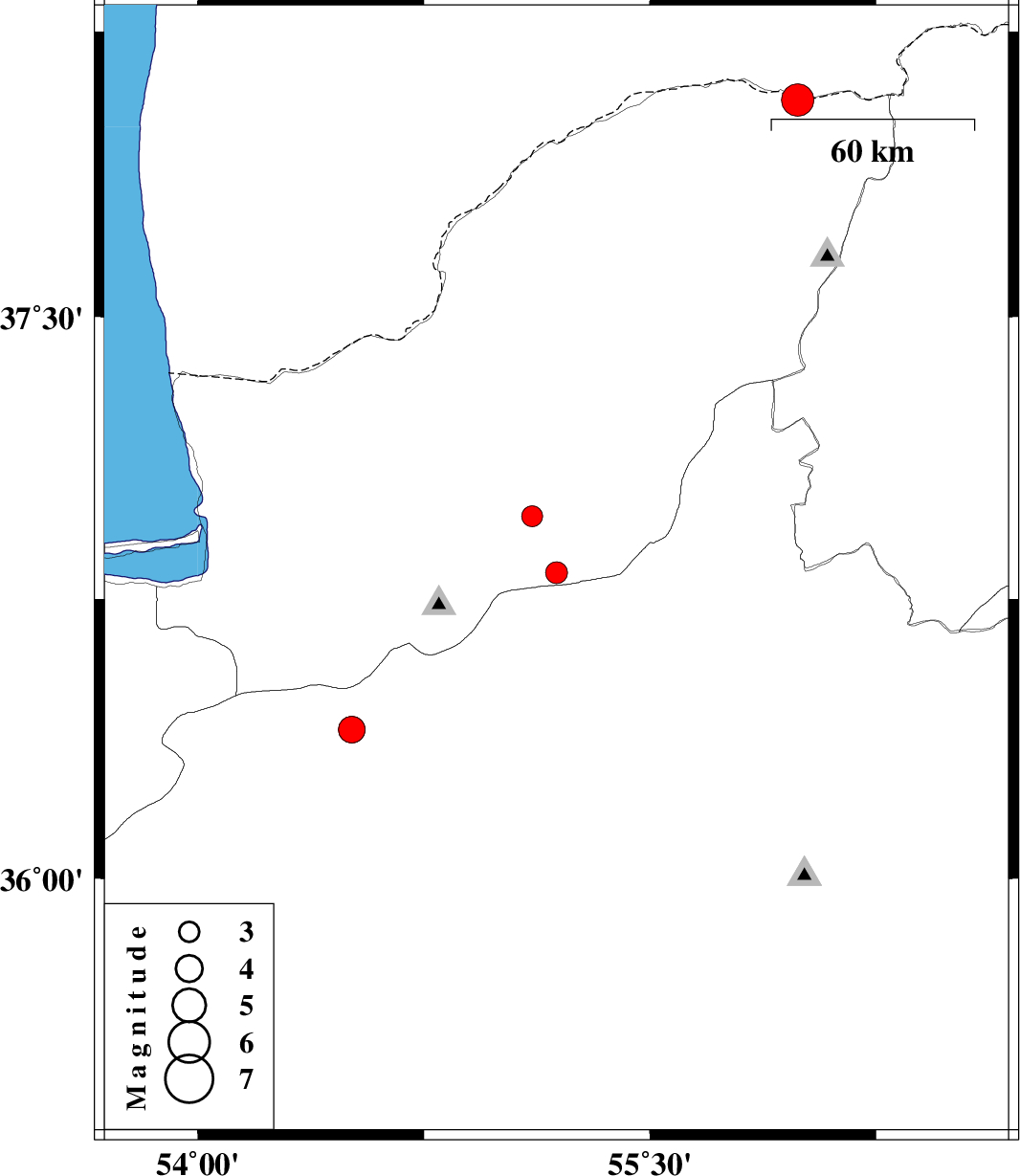
| 2020/12/12 | 16:19:04.5 | 19:49:04.5 | 36.82 | 55.19 | 10 | ML:3.2 | Golestan Province, 22 km South of Ramian | ||
| 2020/11/25 | 20:11:38.6 | 23:41:38.6 | 38.07 | 55.99 | 10 | ML:4.8 | Golestan Province, 88 km North-East of Kalaleh | ||
| 2020/11/24 | 07:55:57.6 | 11:25:57.6 | 36.97 | 55.11 | 10 | ML:3.1 | Golestan Province, 6 km of Ramian | ||
| 2020/11/21 | 11:10:05.2 | 14:40:05.2 | 36.4 | 54.51 | 10 | ML:3.9 | Semnan Province, 30 km North-East of Damghan | ||
| 2020/11/21 | 05:42:18.6 | 09:12:18.6 | 36.4 | 54.51 | 10 | ML:4 | Semnan Province, 30 km North-East of Damghan |