| Prel. Rep. | Date | Time(UTC) | Time(Local) | Lat. | Lon. | Depth | Mag. | Region | Waveform |
|
|
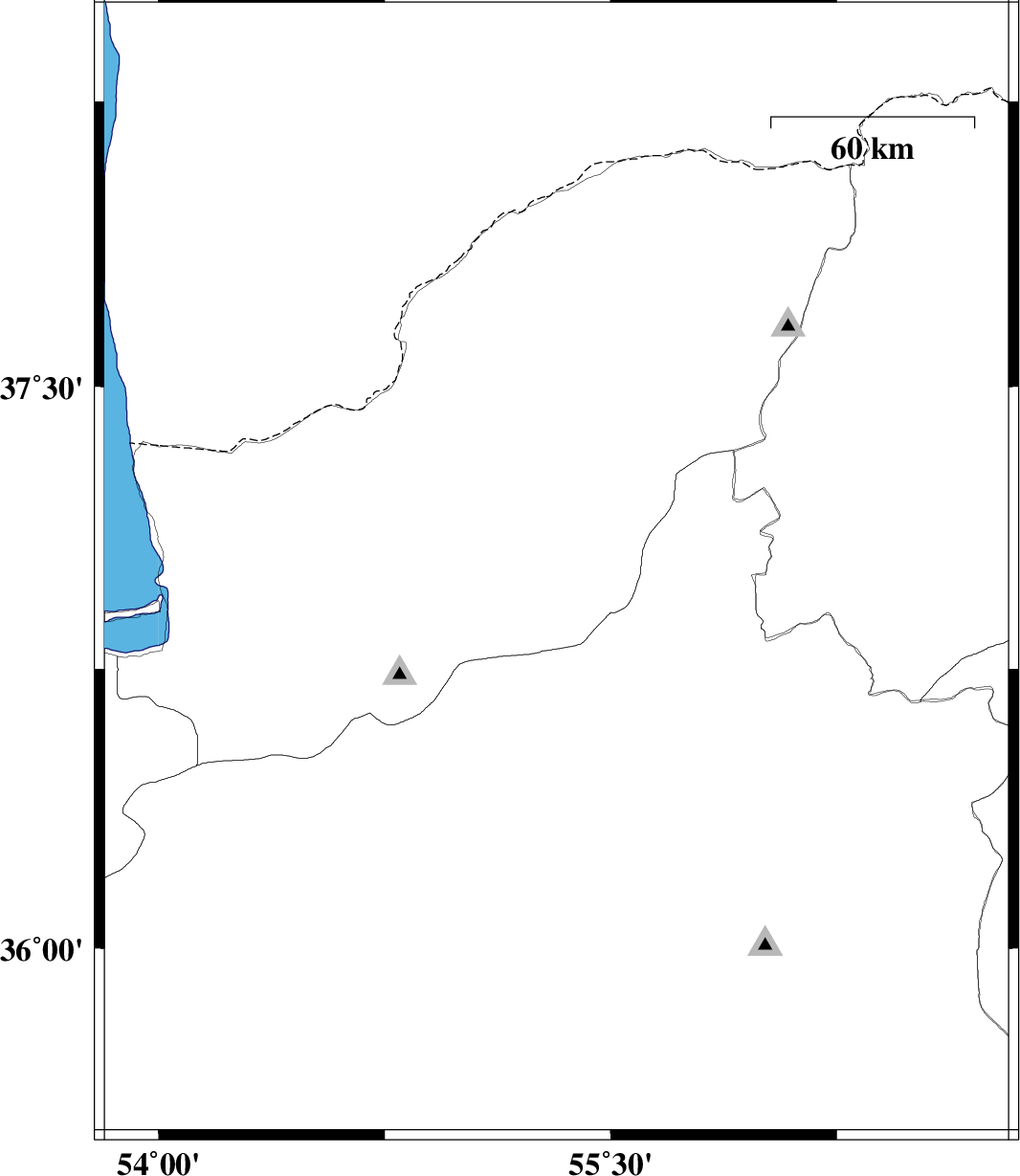
2009/01/24
|
01:32:07.0
|
05:02:07.0
| 37.01 | 55.32 | 18 |
ML:3.3
|
15 km East of Azadshahr, Golestan Province | |
|
|
2009/01/20
|
12:46:07.9
|
16:16:07.9
| 36.81 | 55.02 | 14 |
ML:3.7
|
17 km East of Ali Abad, Golestan Province | |
|
|
2009/01/13
|
03:45:01.6
|
07:15:01.6
| 37.12 | 56.55 | 18 |
ML:3.2
|
23 km North-East of Jajarm, Khorasan(north) Province | |
|
|
2009/01/09
|
02:59:04.0
|
06:29:04.0
| 36.69 | 53.93 | 14 |
ML:3.4
|
9 km Bandar-e gaz, Golestan Province | |
|
|
2009/01/03
|
15:08:45.7
|
18:38:45.7
| 36.59 | 55.75 | 14 |
ML:3.4
|
69 km South-West of Jajarm, Khorasan(north) Province | |
|
|
2009/01/03
|
12:59:16.0
|
16:29:16.0
| 36.55 | 55.71 | 14 |
ML:2.8
|
67 km North-East of Shahrud, Semnan Province | |