| Prel. Rep. | Date | Time(UTC) | Time(Local) | Lat. | Lon. | Depth | Mag. | Region | Waveform |
|
|
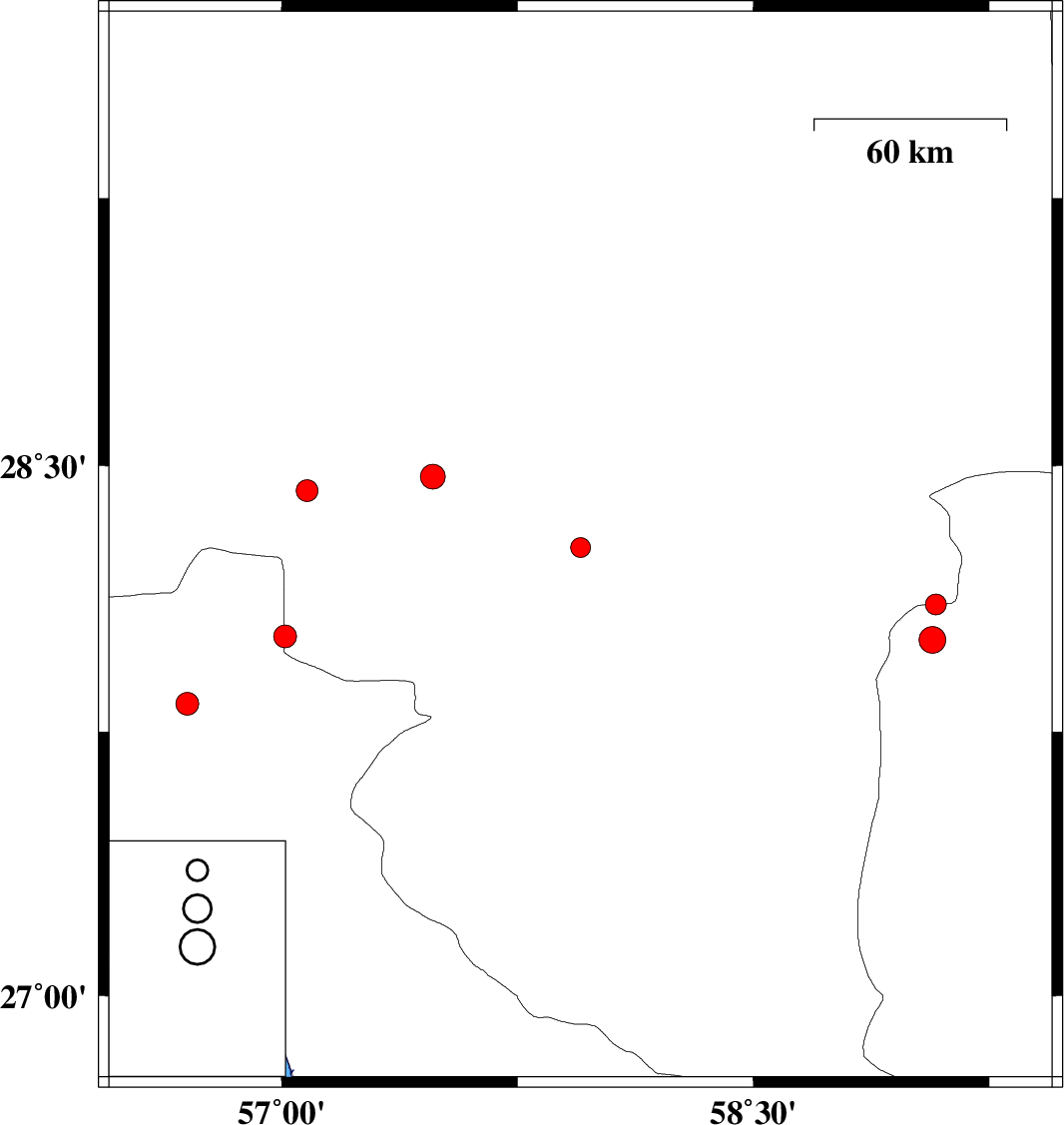
2010/07/19
|
07:20:41.1
|
11:50:41.1
| 28.27 | 57.95 | 15 |
ML:2.8
|
Kerman Province, 43 km North-East of Kahnuj | |
|
|
2010/07/11
|
05:25:47.8
|
09:55:47.8
| 28.47 | 57.48 | 14 |
ML:3.5
|
Kerman Province, 34 km South-West of Jiroft | |
|
|
2010/07/08
|
10:29:41.8
|
14:59:41.8
| 28.02 | 57.01 | 14 |
ML:3.2
|
Kerman Province, 68 km West of Kahnuj | |
|
|
2010/06/30
|
04:13:59.7
|
08:43:59.7
| 27.83 | 56.7 | 14 |
ML:3.3
|
Hormozgan Province, 70 km North-West of Dehbarez | |
|
|
2010/06/24
|
22:54:34.1
|
03:24:34.1
| 28.43 | 57.08 | 30 |
ML:3.1
|
Kerman Province, 70 km South-West of Jiroft | |
|
|
2010/06/24
|
20:41:57.5
|
01:11:57.5
| 28.11 | 59.08 | 14 |
ML:3
|
Kerman Province, 137 km North-East of Kahnuj | |
|
|
2010/06/23
|
15:20:24.3
|
19:50:24.3
| 28.01 | 59.07 | 15 |
ML:3.8
|
Sistan va Baloochestan Province, 136 km East of Kahnuj | |