| Prel. Rep. | Date | Time(UTC) | Time(Local) | Lat. | Lon. | Depth | Mag. | Region | Waveform |
|
|
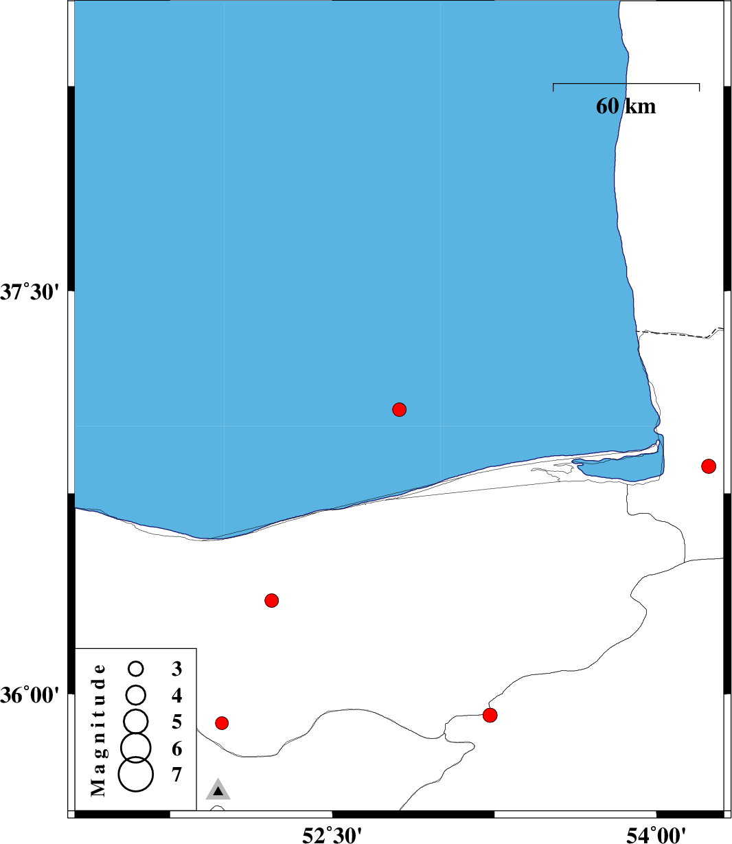
2011/10/26
|
17:09:54.6
|
20:39:54.6
| 37.06 | 52.81 | 17 |
ML:2.8
|
Caspian Sea, 43 km North-East of Babolsar | |
|
|
2011/10/20
|
11:28:41.2
|
14:58:41.2
| 36.35 | 52.22 | 14 |
ML:2.8
|
Mazandaran Province, 18 km South-West of Amol | |
|
|
2011/10/08
|
02:11:37.4
|
05:41:37.4
| 35.89 | 51.99 | 15 |
ML:2.7
|
Mazandaran Province, 20 km North of Damavand | |
|
|
2011/10/03
|
04:53:20.0
|
08:23:20.0
| 35.92 | 53.23 | 14 |
ML:2.9
|
Semnan Province, 26 km South-East of Pol-E-Sefid | |
|
|
2011/10/02
|
02:06:45.5
|
05:36:45.5
| 36.85 | 54.24 | 15 |
ML:2.9
|
Golestan Province, 13 km East of Kordkuy | |