Home / Recent Earthquakes

| Prel. Rep. | Date | Time(UTC) | Time(Local) | Lat. | Lon. | Depth | Mag. | Region | Waveform |
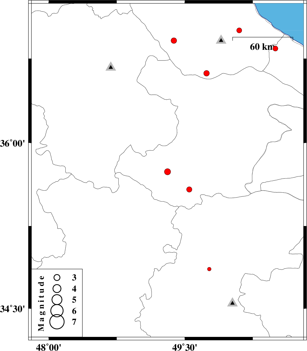
| 2013/02/22 | 07:38:19.7 | 11:08:19.7 | 35.74 | 49.31 | 15 | ML:3.1 | Ghazvin Province, 45 km South of Abhar | ||
| 2013/02/17 | 22:07:25.1 | 01:37:25.1 | 36.84 | 50.5 | 14 | ML:2.5 | Mazandaran Province, 15 km West of Ramsar | ||
| 2013/02/12 | 20:46:04.9 | 00:16:04.9 | 35.58 | 49.55 | 25 | ML:2.7 | Ghazvin Province, 55 km South-West of Takestan | ||
| 2013/02/12 | 15:06:00.1 | 18:36:00.1 | 37 | 50.1 | 18 | ML:2.6 | Gilan Province, 11 km Amlash | ||
| 2013/02/08 | 22:50:20.2 | 02:20:20.2 | 34.86 | 49.77 | 18 | ML:1.8 | Markazi Province, 29 km North-West of Tafresh | ||
| 2013/02/05 | 21:40:24.1 | 01:10:24.1 | 36.91 | 49.38 | 17 | ML:2.8 | Gilan Province, 11 km Rudbar | ||
| 2013/01/24 | 01:30:35.8 | 05:00:35.8 | 36.62 | 49.74 | 37 | ML:2.8 | Gilan Province, 36 km South-East of Rudbar |