Home / Recent Earthquakes

| Prel. Rep. | Date | Time(UTC) | Time(Local) | Lat. | Lon. | Depth | Mag. | Region | Waveform |
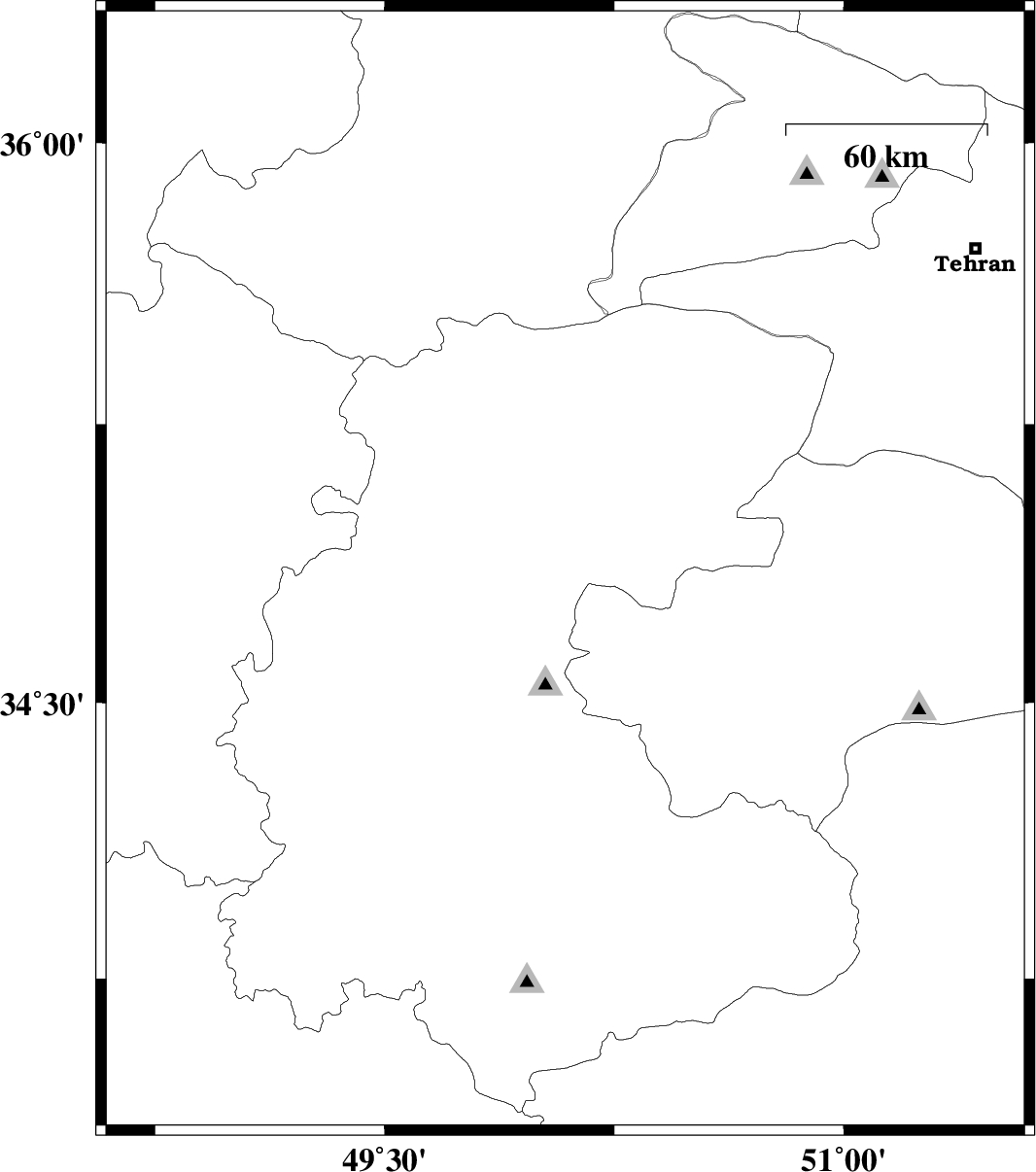
| 2013/03/16 | 22:47:51.9 | 02:17:51.9 | 34.85 | 50.09 | 22 | ML:1.9 | Markazi Province, 19 km North of Tafresh | ||
| 2013/03/15 | 08:34:40.1 | 12:04:40.1 | 33.71 | 48.89 | 15 | ML:2.7 | Lorestan Province, 24 km South-East of Borujerd | ||
| 2013/03/13 | 12:30:27.6 | 16:00:27.6 | 35.65 | 49.86 | 17 | ML:2.5 | Ghazvin Province, 24 km South-West of Buinzara | ||
| 2013/03/11 | 00:13:15.6 | 03:43:15.6 | 35.55 | 49.72 | 17 | ML:2.3 | Ghazvin Province, 57 km South of Takestan | ||
| 2013/03/06 | 10:30:23.3 | 14:00:23.3 | 33.93 | 49.93 | 18 | ML:2 | Markazi Province, 29 km South-East of Arak | ||
| 2013/03/04 | 20:51:39.4 | 00:21:39.4 | 35.77 | 49.01 | 15 | ML:2.4 | Ghazvin Province, 43 km North of Razan | ||
| 2013/03/01 | 09:36:26.5 | 13:06:26.5 | 36.11 | 50.56 | 18 | ML:2.4 | Ghazvin Province, 9 km Abyek | ||
| 2013/02/25 | 19:23:28.3 | 22:53:28.3 | 35.7 | 49.14 | 30 | ML:1.8 | Ghazvin Province, 37 km North of Razan | ||
| 2013/02/22 | 07:38:19.7 | 11:08:19.7 | 35.74 | 49.31 | 15 | ML:3.1 | Ghazvin Province, 45 km South of Abhar |