Home / Recent Earthquakes

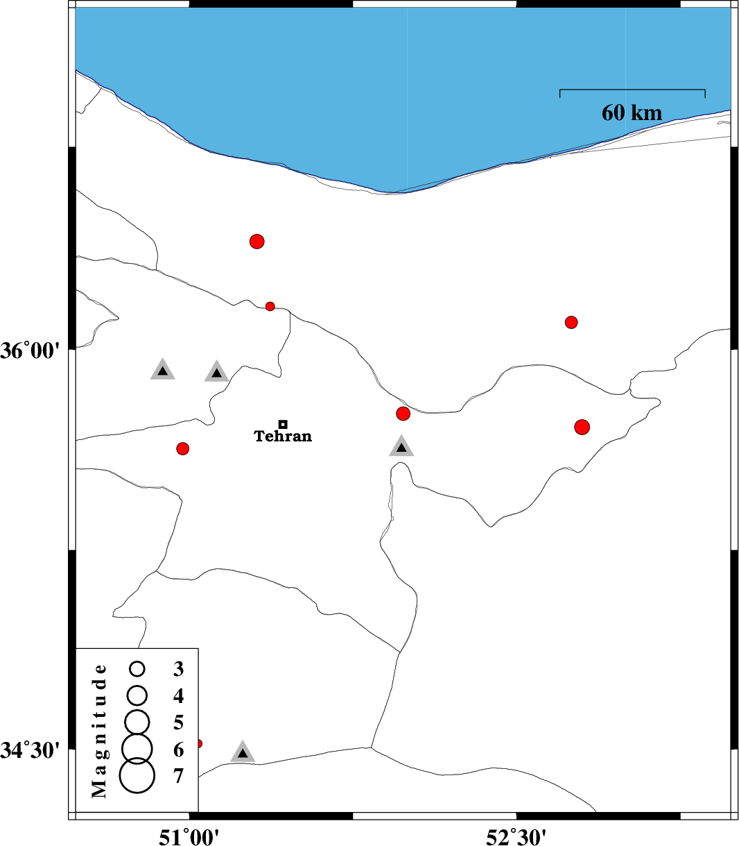
| Prel. Rep. | Date | Time(UTC) | Time(Local) | Lat. | Lon. | Depth | Mag. | Region | Waveform |
| 2013/04/19 | 10:07:12.0 | 14:37:12.0 | 35.76 | 51.98 | 14 | ML:2.8 | Tehran Province, 9 km Damavand | ||
| 2013/04/15 | 02:37:07.9 | 07:07:07.9 | 35.71 | 52.8 | 14 | ML:3.1 | Tehran Province, 5 km Firuzkuh | ||
| 2013/04/12 | 21:01:54.6 | 01:31:54.6 | 34.44 | 50.87 | 33 | ML:2.7 | Qom Province, 23 km South of Qom | ||
| 2013/04/12 | 07:50:48.0 | 12:20:48.0 | 36.4 | 51.31 | 14 | ML:2.9 | Mazandaran Province, 30 km South-West of Chalus | ||
| 2013/04/08 | 16:01:29.9 | 20:31:29.9 | 34.52 | 51.04 | 25 | ML:1.7 | Qom Province, 21 km South-East of Qom | ||
| 2013/04/06 | 20:07:58.1 | 00:37:58.1 | 36.16 | 51.37 | 18 | ML:1.9 | Mazandaran Province, 41 km North of Tajrish | ||
| 2013/03/30 | 05:59:12.2 | 10:29:12.2 | 36.1 | 52.75 | 14 | ML:2.5 | Mazandaran Province, 28 km West of Pol-E-Sefid | ||
| 2013/03/20 | 23:07:24.6 | 02:37:24.6 | 35.63 | 50.97 | 16 | ML:2.5 | Tehran Province, 9 km Shahriyar |