Home / Recent Earthquakes

| Prel. Rep. | Date | Time(UTC) | Time(Local) | Lat. | Lon. | Depth | Mag. | Region | Waveform |
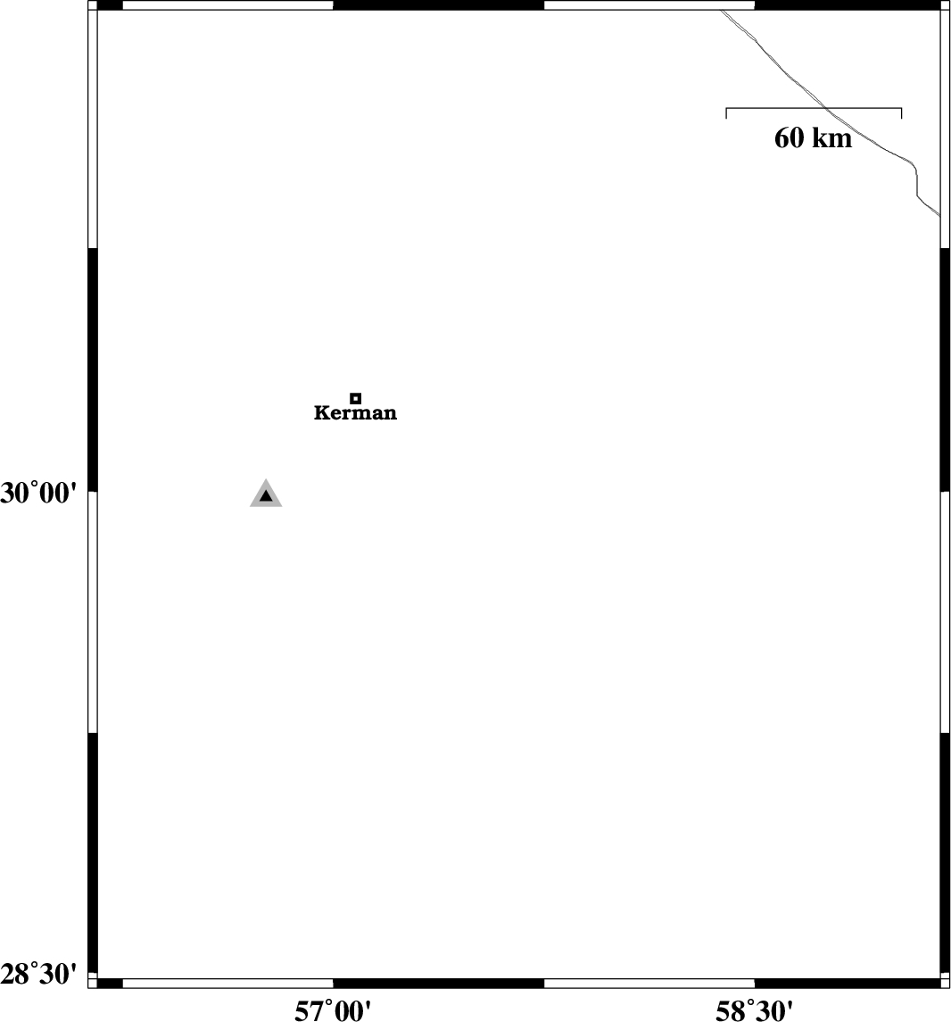
| 2013/06/06 | 16:37:18.9 | 21:07:18.9 | 29.98 | 57.66 | 14 | ML:2.8 | Kerman Province, 66 km South-East of Kerman | ||
| 2013/06/01 | 02:02:27.7 | 06:32:27.7 | 28.95 | 58.35 | 14 | ML:2.7 | Kerman Province, 18 km South of Bam | ||
| 2013/05/27 | 12:50:37.7 | 17:20:37.7 | 31.22 | 57.48 | 14 | ML:2.9 | Kerman Province, 64 km East of Ravar | ||
| 2013/05/24 | 04:03:59.9 | 08:33:59.9 | 30.64 | 57.34 | 16 | ML:3.4 | Kerman Province, 46 km North-East of Kerman | ||
| 2013/05/13 | 20:36:59.5 | 01:06:59.5 | 30.39 | 57.68 | 15 | ML:3.2 | Kerman Province, 59 km East of Kerman | ||
| 2013/05/10 | 05:23:35.0 | 09:53:35.0 | 30.17 | 58.14 | 18 | ML:3.2 | Kerman Province, 103 km South-East of Kerman |