| Prel. Rep. | Date | Time(UTC) | Time(Local) | Lat. | Lon. | Depth | Mag. | Region | Waveform |
|
|
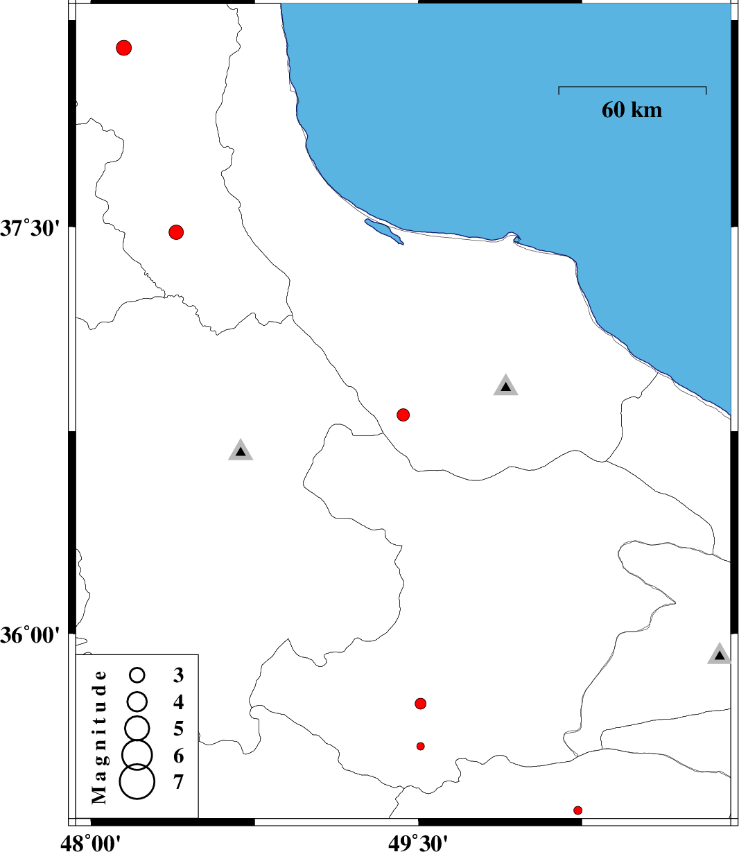
2013/06/15
|
19:46:40.7
|
00:16:40.7
| 36.81 | 49.43 | 15 |
ML:2.6
|
Gilan Province, 2 km Rudbar | |
|
|
2013/06/14
|
01:54:49.1
|
06:24:49.1
| 38.15 | 48.15 | 15 |
ML:3.1
|
Ardebil Province, 9 km Nir | |
|
|
2013/06/11
|
04:33:37.9
|
09:03:37.9
| 37.48 | 48.39 | 14 |
ML:2.9
|
Ardebil Province, 24 km South of Givi | |
|
|
2013/06/06
|
09:14:53.6
|
13:44:53.6
| 35.34 | 50.23 | 23 |
ML:1.7
|
Markazi Province, 37 km North-West of Saveh | |
|
|
2013/05/23
|
15:13:34.0
|
19:43:34.0
| 35.58 | 49.51 | 34 |
ML:1.6
|
Ghazvin Province, 48 km North-East of Razan | |
|
|
2013/05/16
|
15:37:51.8
|
20:07:51.8
| 35.74 | 49.51 | 46 |
ML:2.3
|
Ghazvin Province, 40 km South-West of Takestan | |