Home / Recent Earthquakes

| Prel. Rep. | Date | Time(UTC) | Time(Local) | Lat. | Lon. | Depth | Mag. | Region | Waveform |
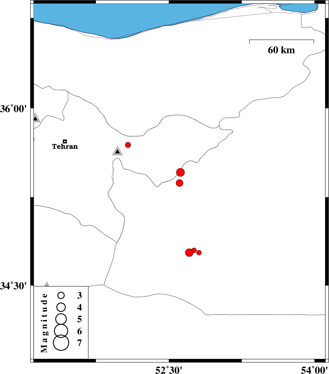
| 2013/10/15 | 17:28:10.8 | 20:58:10.8 | 35.37 | 52.61 | 16 | ML:3.3 | Semnan Province, 30 km North-East of Garmsar | ||
| 2013/10/09 | 16:05:30.5 | 19:35:30.5 | 34.8 | 52.76 | 14 | ML:2.2 | Semnan Province, 60 km South-East of Garmsar | ||
| 2013/10/09 | 10:55:21.4 | 14:25:21.4 | 34.78 | 52.71 | 14 | ML:3.7 | Semnan Province, 59 km South-East of Garmsar | ||
| 2013/10/09 | 02:07:17.2 | 05:37:17.2 | 35.46 | 52.62 | 14 | ML:3.8 | Semnan Province, 35 km South-West of Firuzkuh | ||
| 2013/10/08 | 05:51:10.9 | 09:21:10.9 | 34.78 | 52.81 | 21 | ML:2.3 | Semnan Province, 65 km South-East of Garmsar | ||
| 2013/10/08 | 04:49:23.1 | 08:19:23.1 | 35.69 | 52.08 | 46 | ML:2.5 | Tehran Province, 3 km Damavand |