Home / Recent Earthquakes

| Prel. Rep. | Date | Time(UTC) | Time(Local) | Lat. | Lon. | Depth | Mag. | Region | Waveform |
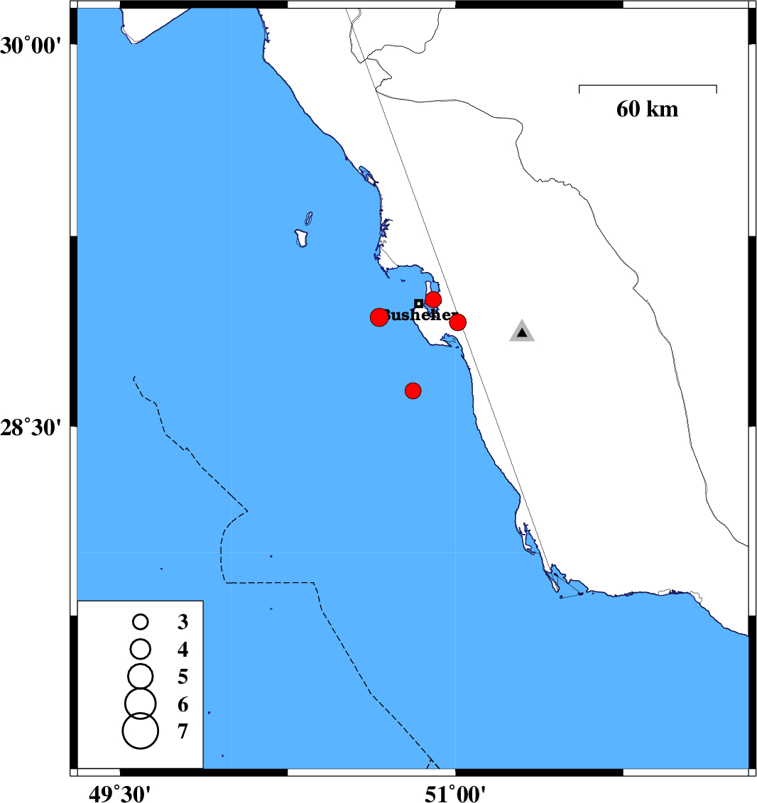
| 2013/11/08 | 21:14:14.0 | 00:44:14.0 | 28.64 | 50.81 | 15 | ML:3.2 | Persian Gulf, 39 km South of Busheher | ||
| 2013/10/27 | 09:26:32.5 | 12:56:32.5 | 29 | 50.9 | 24 | ML:3.3 | Persian Gulf, 6 km Busheher | ||
| 2013/10/22 | 11:09:40.7 | 14:39:40.7 | 28.93 | 50.66 | 18 | ML:3.6 | Persian Gulf, 18 km West of Busheher | ||
| 2013/10/21 | 21:10:11.4 | 00:40:11.4 | 28.91 | 51.01 | 15 | ML:3.4 | Bushehr Province, 19 km East of Busheher |