Home / Recent Earthquakes

| Prel. Rep. | Date | Time(UTC) | Time(Local) | Lat. | Lon. | Depth | Mag. | Region | Waveform |
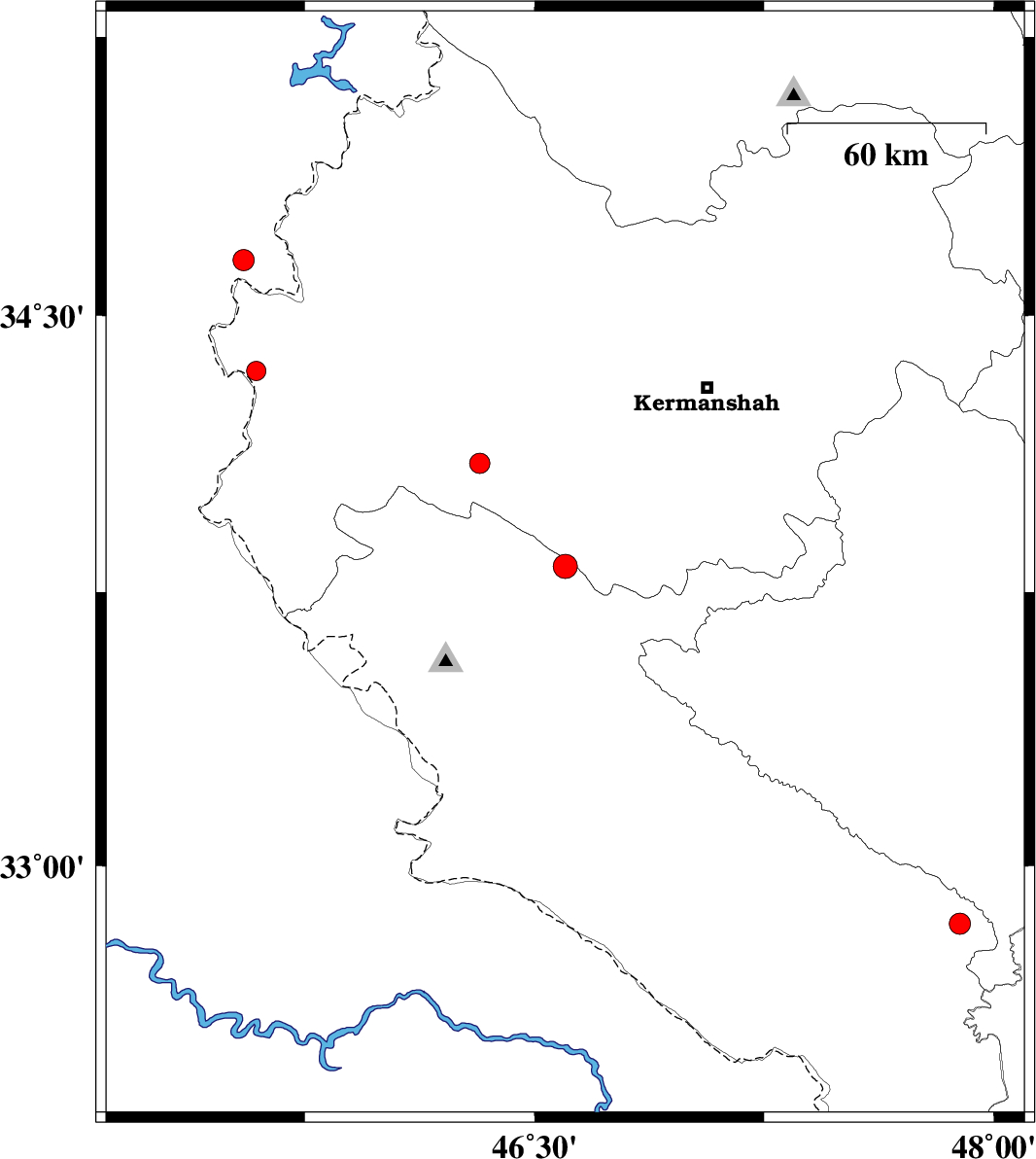
| 2014/02/02 | 16:00:45.2 | 19:30:45.2 | 33.82 | 46.6 | 14 | ML:3.5 | Ilam Province, 7 km Sar Ableh | ||
| 2014/01/27 | 03:51:28.4 | 07:21:28.4 | 32.84 | 47.89 | 14 | ML:3.1 | Ilam Province, 38 km South-East of Pol-e dokhtar | ||
| 2014/01/23 | 06:41:02.8 | 10:11:02.8 | 34.65 | 45.55 | 39 | ML:3.1 | Iraq, 16 km North of Qasr-E-Shirin | ||
| 2014/01/22 | 02:27:48.6 | 05:57:48.6 | 34.35 | 45.59 | 33 | ML:2.8 | Kermanshah Province, 18 km South of Qasr-E-Shirin | ||
| 2014/01/21 | 04:56:25.1 | 08:26:25.1 | 34.1 | 46.32 | 14 | ML:2.9 | Kermanshah Province, 31 km North of Eyvan |