Home / Recent Earthquakes

| Prel. Rep. | Date | Time(UTC) | Time(Local) | Lat. | Lon. | Depth | Mag. | Region | Waveform |
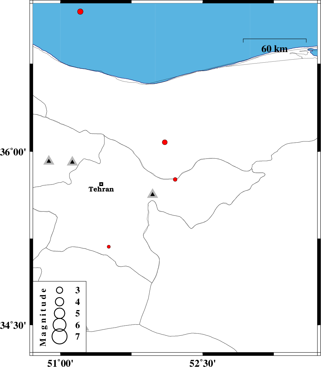
| 2014/05/23 | 10:23:54.1 | 14:53:54.1 | 35.76 | 52.21 | 16 | ML:1.8 | Tehran Province, 13 km East of Damavand | ||
| 2014/05/19 | 03:01:48.4 | 07:31:48.4 | 37.19 | 51.21 | 45 | ML:2.7 | Caspian Sea, 51 km North-East of Tonekabon | ||
| 2014/05/18 | 17:29:30.4 | 21:59:30.4 | 34.5 | 50.8 | 34 | ML:2.7 | Qom Province, 18 km South of Qom | ||
| 2014/05/18 | 01:36:05.8 | 06:06:05.8 | 35.18 | 51.51 | 33 | ML:1.6 | Tehran Province, 21 km South-West of Varamin | ||
| 2014/05/17 | 04:40:19.6 | 09:10:19.6 | 36.08 | 52.1 | 14 | ML:2.4 | Mazandaran Province, 41 km North of Damavand |