| Prel. Rep. | Date | Time(UTC) | Time(Local) | Lat. | Lon. | Depth | Mag. | Region | Waveform |
|
|
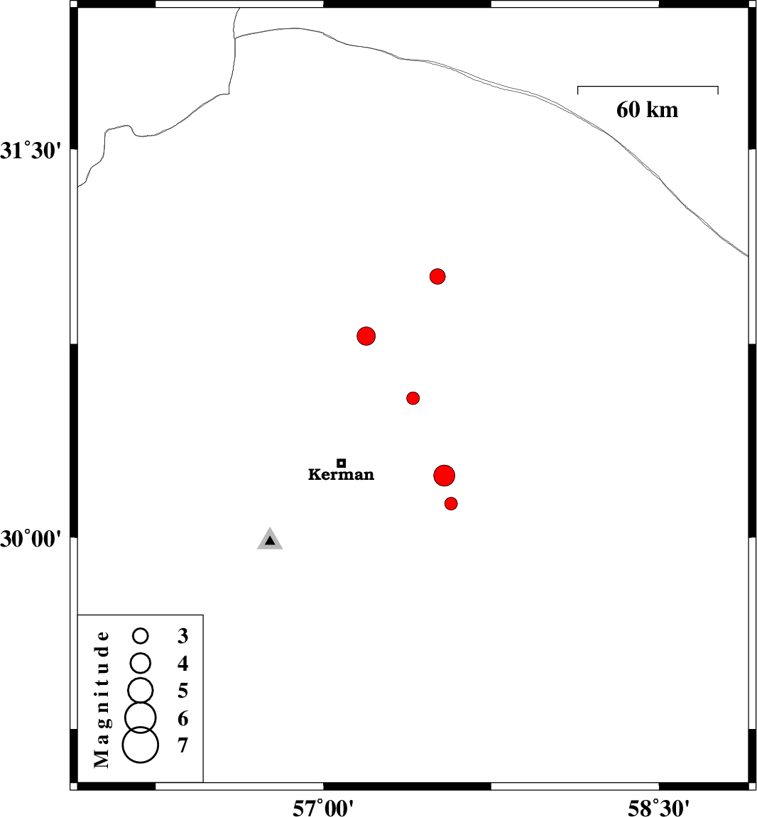
2014/09/23
|
01:22:35.9
|
04:52:35.9
| 30.54 | 57.4 | 18 |
ML:2.6
|
Kerman Province, 41 km North-East of Kerman | |
|
|
2014/09/22
|
06:26:05.9
|
09:56:05.9
| 30.78 | 57.19 | 14 |
ML:3.7
|
Kerman Province, 55 km North-East of Kerman | |
|
|
2014/09/20
|
09:09:23.0
|
13:39:23.0
| 31.01 | 57.51 | 14 |
ML:3.1
|
Kerman Province, 72 km South-East of Ravar | |
|
|
2014/09/16
|
19:38:56.8
|
00:08:56.8
| 30.13 | 57.57 | 16 |
ML:2.6
|
Kerman Province, 51 km South-East of Kerman | |
|
|
2014/09/16
|
17:25:28.4
|
21:55:28.4
| 30.24 | 57.54 | 14 |
ML:4.2
|
Kerman Province, 44 km East of Kerman | |