Home / Recent Earthquakes

| Prel. Rep. | Date | Time(UTC) | Time(Local) | Lat. | Lon. | Depth | Mag. | Region | Waveform |
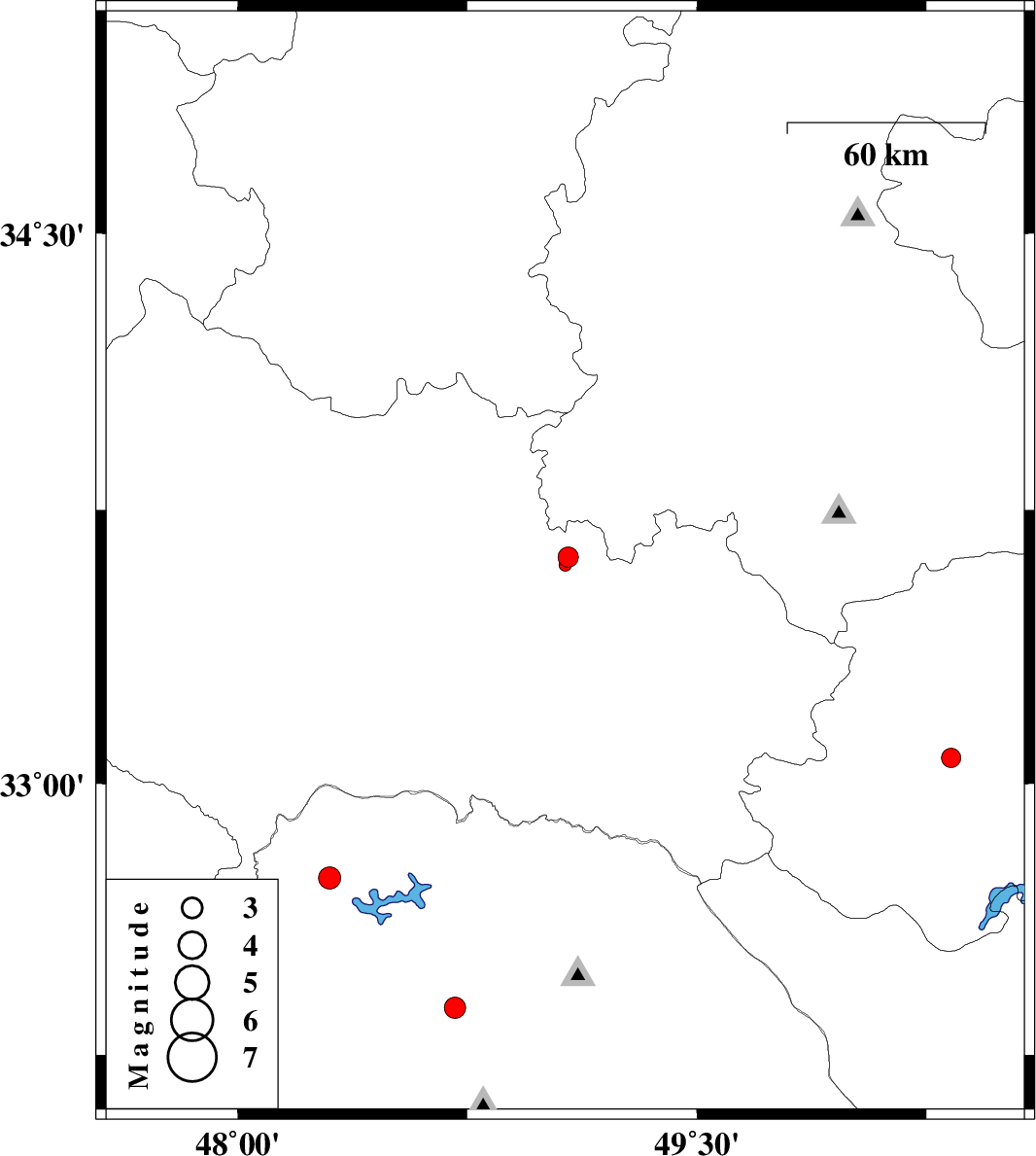
| 2014/10/10 | 22:47:32.9 | 02:17:32.9 | 33.07 | 50.33 | 14 | ML:2.8 | Esfahan Province, 16 km South of Khvansar | ||
| 2014/10/10 | 19:57:55.1 | 23:27:55.1 | 33.62 | 49.08 | 6 | ML:2.9 | Lorestan Province, 15 km North of Dorud | ||
| 2014/10/10 | 19:53:37.4 | 23:23:37.4 | 33.6 | 49.07 | 15 | ML:1.8 | Lorestan Province, 13 km North of Dorud | ||
| 2014/10/09 | 18:05:33.9 | 21:35:33.9 | 32.64 | 47.92 | 18 | ML:3.1 | Ilam Province, 45 km North-West of Andimeshk | ||
| 2014/10/08 | 15:34:36.5 | 19:04:36.5 | 32.67 | 48.08 | 18 | ML:2.5 | Khoozestan Province, 34 km North-West of Andimeshk | ||
| 2014/10/05 | 18:31:10.9 | 22:01:10.9 | 32.59 | 47.76 | 18 | ML:4 | Ilam Province, 48 km South-East of Dehloran | ||
| 2014/10/03 | 18:32:23.2 | 22:02:23.2 | 32.74 | 48.3 | 22 | ML:3.2 | Khoozestan Province, 32 km North of Andimeshk | ||
| 2014/10/03 | 02:27:09.2 | 05:57:09.2 | 32.38 | 48.71 | 14 | ML:3.1 | Khoozestan Province, 29 km East of Dezful |