Home / Recent Earthquakes

| Prel. Rep. | Date | Time(UTC) | Time(Local) | Lat. | Lon. | Depth | Mag. | Region | Waveform |
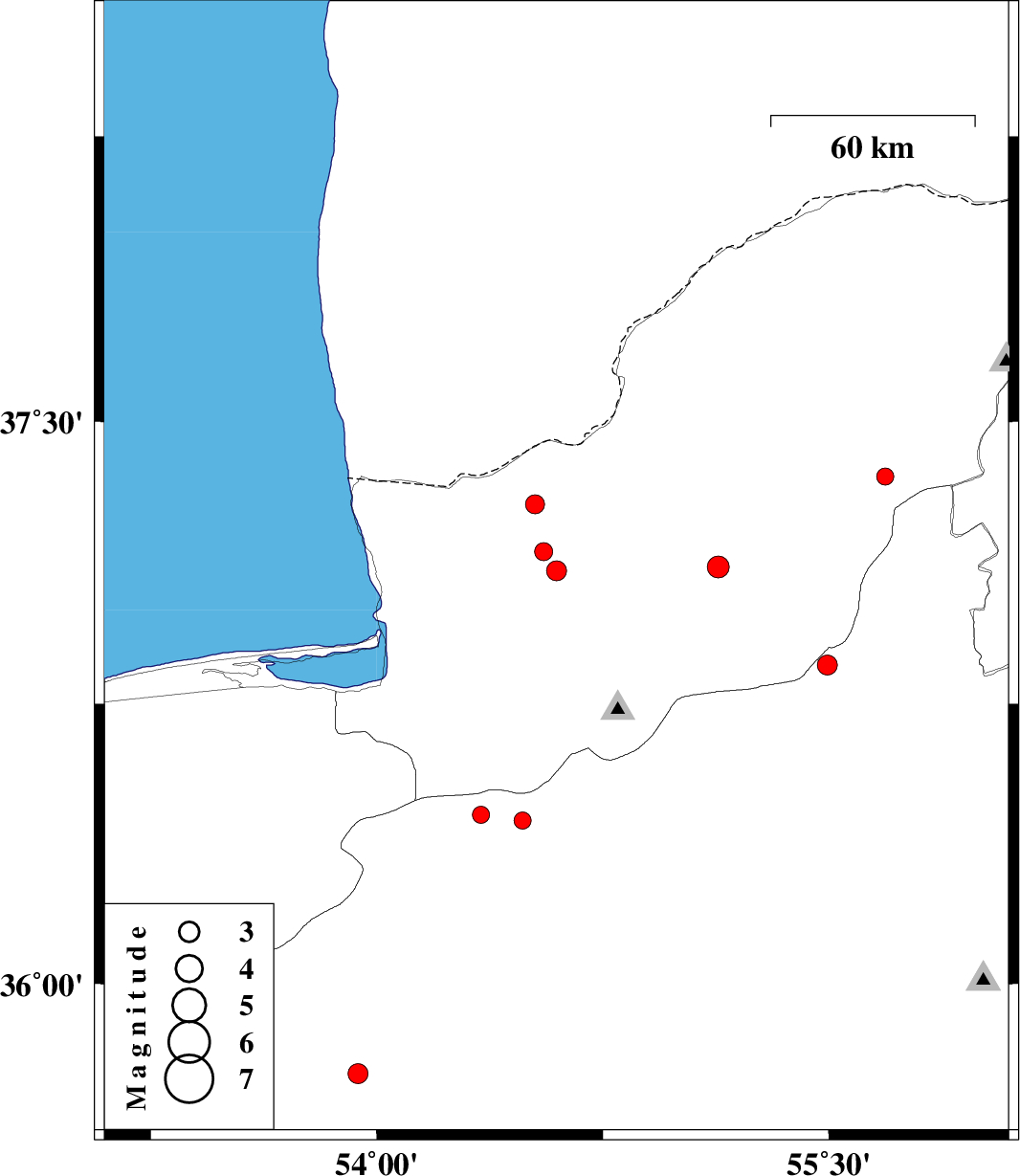
| 2016/08/15 | 06:55:22.1 | 11:25:22.1 | 37.105 | 54.596 | 14 | ML:2.9 | Golestan Province, 16 km -East of Aq Qaleh | ||
| 2016/08/14 | 04:28:57.3 | 08:58:57.3 | 36.438 | 54.483 | 15 | ML:2.5 | Semnan Province, 33 km North-East of Damghan | ||
| 2016/08/07 | 16:33:09.6 | 21:03:09.6 | 36.854 | 55.494 | 6 | ML:2.9 | Semnan Province, 43 km South-East of Minodasht | ||
| 2016/08/07 | 12:44:37.8 | 17:14:37.8 | 37.281 | 54.525 | 14 | ML:2.8 | Golestan Province, 31 km North of Aq Qaleh | ||
| 2016/08/03 | 23:15:45.0 | 03:45:45.0 | 37.355 | 55.687 | 18 | ML:2.6 | Golestan Province, 17 km -East of Kalaleh | ||
| 2016/07/31 | 20:42:11.3 | 01:12:11.3 | 37.115 | 55.133 | 15 | ML:3.2 | Golestan Province, 5 km of Azadshahr | ||
| 2016/07/26 | 04:12:10.3 | 08:42:10.3 | 35.756 | 53.938 | 14 | ML:2.9 | Semnan Province, 53 km North-East of Semnan | ||
| 2016/07/24 | 13:58:47.0 | 18:28:47.0 | 36.454 | 54.346 | 14 | ML:2.5 | Semnan Province, 32 km North of Damghan | ||
| 2016/07/24 | 12:05:11.1 | 16:35:11.1 | 37.156 | 54.554 | 15 | ML:2.7 | Golestan Province, 18 km North-East of Aq Qaleh |