Home / Recent Earthquakes

| Prel. Rep. | Date | Time(UTC) | Time(Local) | Lat. | Lon. | Depth | Mag. | Region | Waveform |
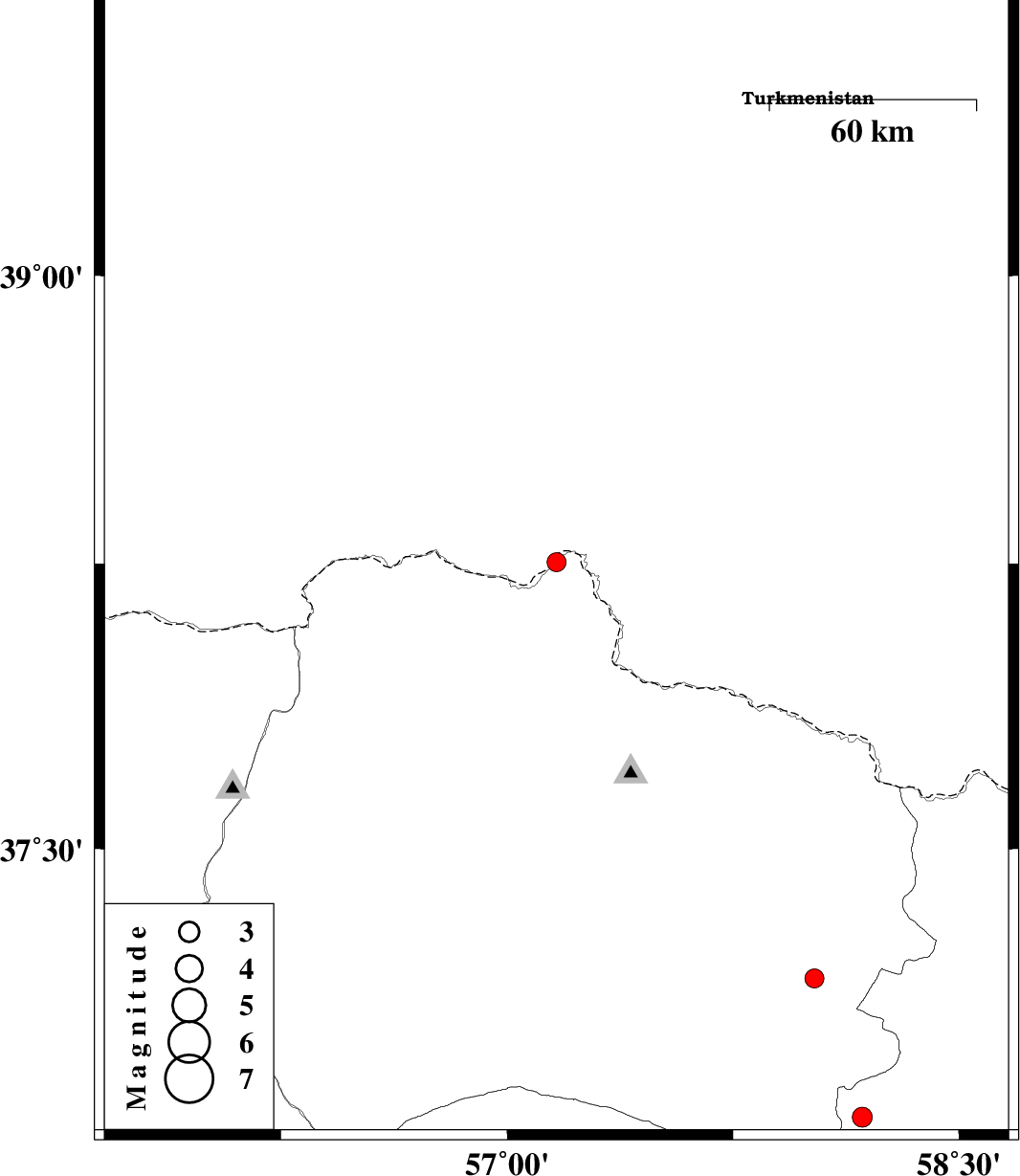
| 2016/12/31 | 14:25:23.6 | 17:55:23.6 | 38.254 | 57.164 | 7 | ML:2.8 | Khorasan(north) Province, 81 km North-East of Ashkhaneh | ||
| 2016/12/28 | 01:03:15.0 | 04:33:15.0 | 37.011 | 55.802 | 0 | ML:2.5 | Semnan Province, 44 km South-East of Minodasht | ||
| 2016/12/28 | 00:01:39.6 | 03:31:39.6 | 37.042 | 55.703 | 14 | ML:2.9 | Semnan Province, 35 km South-East of Minodasht | ||
| 2016/12/27 | 20:56:19.6 | 00:26:19.6 | 36.997 | 55.871 | 6 | ML:4.6 | Semnan Province, 46 km -West of Jajarm | ||
| 2016/12/15 | 22:01:30.6 | 01:31:30.6 | 36.991 | 56.004 | 9 | ML:3.7 | Khorasan(north) Province, 34 km -West of Jajarm | ||
| 2016/12/12 | 08:05:14.9 | 11:35:14.9 | 37.157 | 58.02 | 14 | ML:2.8 | Khorasan(center) Province, 26 km South of Shirvan | ||
| 2016/12/09 | 15:41:22.4 | 19:11:22.4 | 36.787 | 58.179 | 15 | ML:2.9 | Khorasan(center) Province, 46 km South-West of Quchan |