Home / Recent Earthquakes

| Prel. Rep. | Date | Time(UTC) | Time(Local) | Lat. | Lon. | Depth | Mag. | Region | Waveform |
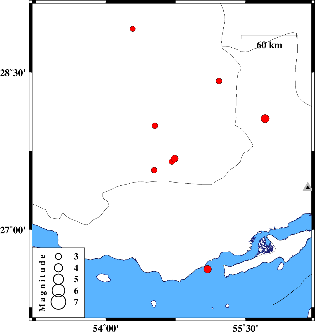
| 2017/12/09 | 02:13:42.9 | 05:43:42.9 | 27.68 | 54.74 | 18 | ML:3.4 | Fars Province, 39 km -East of Lar | ||
| 2017/12/09 | 02:08:46.1 | 05:38:46.1 | 27.651 | 54.71 | 14 | ML:2.8 | Fars Province, 37 km -East of Lar | ||
| 2017/11/27 | 23:01:53.4 | 02:31:53.4 | 28.418 | 55.217 | 14 | ML:2.8 | Fars Province, 68 km North-West of Hajiabad | ||
| 2017/11/24 | 13:15:28.0 | 16:45:28.0 | 27.992 | 54.528 | 14 | ML:2.8 | Fars Province, 39 km North-East of Lar | ||
| 2017/11/23 | 02:47:23.8 | 06:17:23.8 | 28.06 | 55.712 | 16 | ML:3.9 | Hormozgan Province, 33 km South-West of Hajiabad | ||
| 2017/11/15 | 00:28:13.2 | 03:58:13.2 | 28.91 | 54.289 | 14 | ML:2.6 | Fars Province, 33 km South of Neyriz | ||
| 2017/11/12 | 02:47:28.3 | 06:17:28.3 | 26.619 | 55.095 | 14 | ML:3.7 | Persian Gulf, 27 km -East of Bandar-e lengeh | ||
| 2017/11/11 | 02:28:46.8 | 05:58:46.8 | 27.569 | 54.52 | 16 | ML:2.8 | Fars Province, 22 km South-East of Lar |