| Prel. Rep. | Date | Time(UTC) | Time(Local) | Lat. | Lon. | Depth | Mag. | Region | Waveform |
|
|
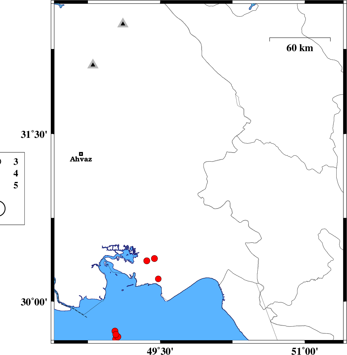
2011/06/04
|
11:33:53.4
|
16:03:53.4
| 31.43 | 49.79 | 14 |
ML:3.4
|
Khoozestan Province, 14 km West of Bagh Malek | |
|
|
2011/06/04
|
11:26:18.6
|
15:56:18.6
| 31.15 | 49.9 | 18 |
ML:3.8
|
Khoozestan Province, 41 km South of Bagh Malek | |
|
|
2011/05/29
|
04:25:52.5
|
08:55:52.5
| 32.54 | 48.81 | 15 |
ML:3
|
Khoozestan Province, 33 km North-West of Lali | |
|
|
2011/05/24
|
00:01:37.3
|
04:31:37.3
| 31.72 | 48.41 | 14 |
ML:3.7
|
Khoozestan Province, 28 km North-East of Susangerd | |
|
|
2011/05/19
|
12:01:43.0
|
16:31:43.0
| 32.36 | 48.85 | 14 |
ML:2.8
|
Khoozestan Province, 24 km West of Lali | |
|
|
2011/05/17
|
10:11:06.9
|
14:41:06.9
| 31.87 | 48.41 | 14 |
ML:3
|
Khoozestan Province, 40 km South-East of Shush | |
|
|
2011/05/17
|
08:33:41.3
|
13:03:41.3
| 31.43 | 49.7 | 14 |
ML:3.3
|
Khoozestan Province, 19 km North of Ramhormoz | |
|
|
2011/05/17
|
02:56:42.7
|
07:26:42.7
| 31.9 | 48.4 | 15 |
ML:2.9
|
Khoozestan Province, 36 km South-East of Shush | |
|
|
2011/05/15
|
21:09:33.9
|
01:39:33.9
| 31.85 | 48.43 | 14 |
ML:3
|
Khoozestan Province, 40 km North-East of Susangerd | |
|
|
2011/05/15
|
13:32:13.3
|
18:02:13.3
| 31.8 | 48.43 | 14 |
ML:3.2
|
Khoozestan Province, 36 km North-East of Susangerd | |
|
|
2011/05/14
|
09:43:40.4
|
14:13:40.4
| 32.52 | 48.73 | 14 |
ML:3
|
Khoozestan Province, 36 km East of Andimeshk | |
|
|
2011/05/12
|
14:25:58.3
|
18:55:58.3
| 31.04 | 51.4 | 15 |
ML:4.6
|
Esfahan Province, 20 km North of Sisakht | |
|
|
2011/05/11
|
09:52:01.0
|
14:22:01.0
| 31.83 | 48.41 | 14 |
ML:3.1
|
Khoozestan Province, 37 km North-East of Susangerd | |
|
|
2011/05/08
|
22:17:38.0
|
02:47:38.0
| 29.84 | 51 | 42 |
ML:4.9
|
Fars Province, 60 km South-East of Dogonbadan | |
|
|
2011/05/08
|
10:53:21.2
|
15:23:21.2
| 30.75 | 50.34 | 14 |
ML:3.9
|
Kohkiluieh va boyerahmad Province, 19 km North of Behbahan | |