Home / Recent Earthquakes

| Prel. Rep. | Date | Time(UTC) | Time(Local) | Lat. | Lon. | Depth | Mag. | Region | Waveform |
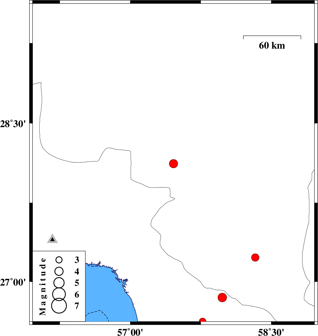
| 2013/07/01 | 19:03:54.0 | 23:33:54.0 | 28.12 | 57.46 | 15 | ML:4.1 | Kerman Province, 30 km North-West of Kahnuj | ||
| 2013/06/30 | 16:25:33.4 | 20:55:33.4 | 26.85 | 57.98 | 14 | ML:4.2 | Hormozgan Province, 79 km South-East of Manujan | ||
| 2013/06/30 | 04:24:04.3 | 08:54:04.3 | 27.23 | 58.33 | 15 | ML:3.7 | Kerman Province, 85 km South-East of Manujan | ||
| 2013/06/24 | 03:48:45.5 | 08:18:45.5 | 26.62 | 57.77 | 18 | ML:3.4 | Hormozgan Province, 110 km North of Jask |