Home / Recent Earthquakes

| Prel. Rep. | Date | Time(UTC) | Time(Local) | Lat. | Lon. | Depth | Mag. | Region | Waveform |
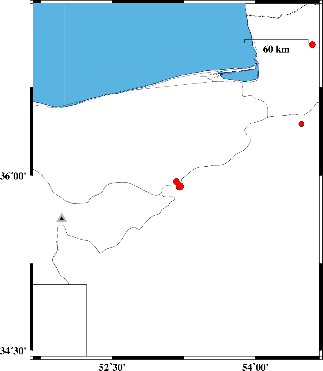
| 2016/08/17 | 10:08:38.4 | 14:38:38.4 | 35.949 | 53.171 | 15 | ML:3 | Mazandaran Province, 21 km South-East of Pol-E-Sefid | ||
| 2016/08/17 | 04:25:41.5 | 08:55:41.5 | 35.908 | 53.207 | 15 | ML:3.6 | Semnan Province, 27 km South-East of Pol-E-Sefid | ||
| 2016/08/15 | 06:55:22.1 | 11:25:22.1 | 37.105 | 54.596 | 14 | ML:2.9 | Golestan Province, 16 km -East of Aq Qaleh | ||
| 2016/08/14 | 04:28:57.3 | 08:58:57.3 | 36.438 | 54.483 | 15 | ML:2.5 | Semnan Province, 33 km North-East of Damghan |