Home / Recent Earthquakes

| Prel. Rep. | Date | Time(UTC) | Time(Local) | Lat. | Lon. | Depth | Mag. | Region | Waveform |
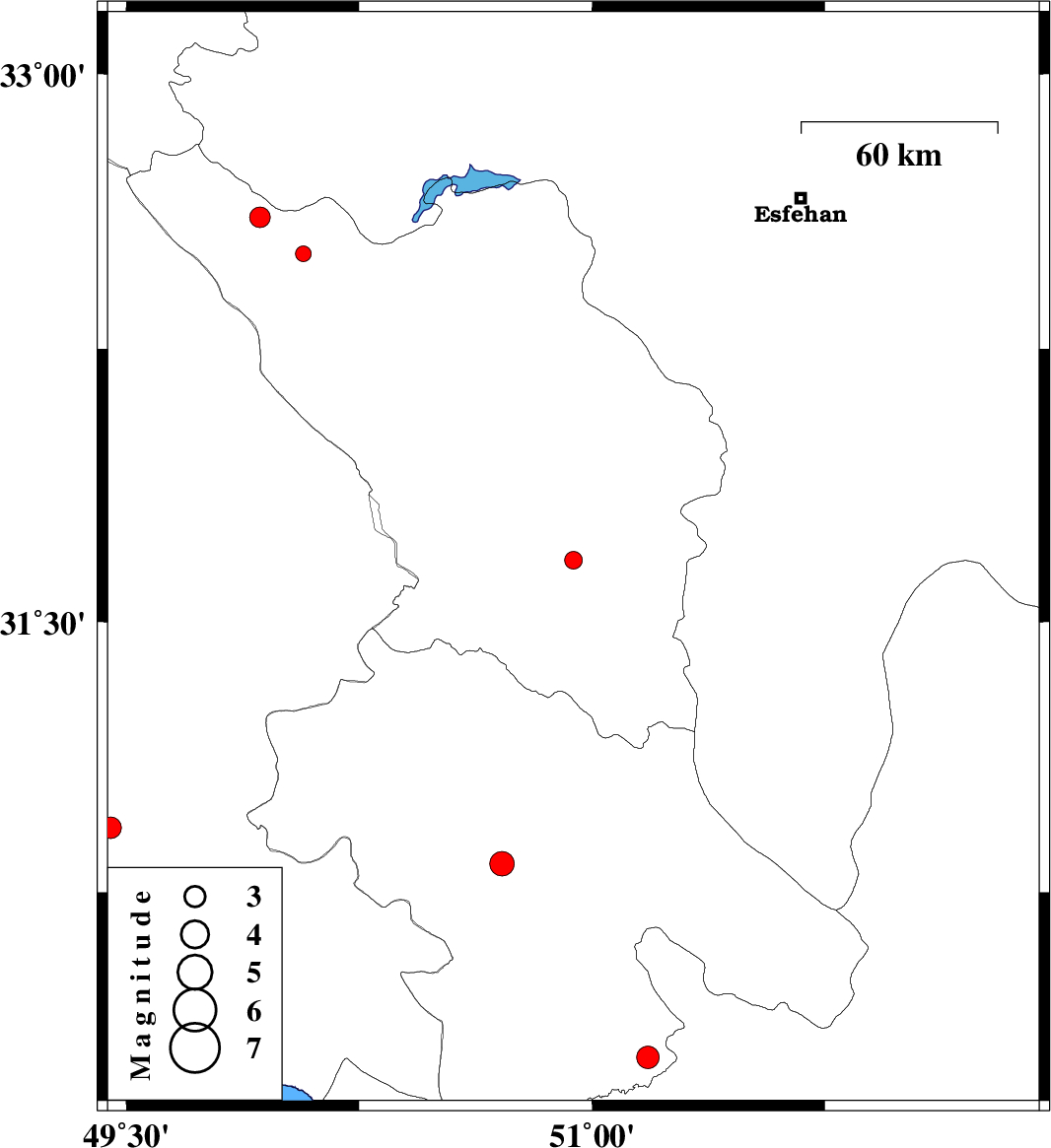
| 2014/01/06 | 15:04:43.6 | 18:34:43.6 | 31.67 | 50.94 | 18 | ML:2.5 | Chaharmahal Bakhtiari Province, 22 km North-East of Lordegan | ||
| 2014/01/01 | 18:44:37.2 | 22:14:37.2 | 32.51 | 50.07 | 14 | ML:2.2 | Chaharmahal Bakhtiari Province, 7 km Chelgard | ||
| 2013/12/29 | 14:58:38.5 | 18:28:38.5 | 30.29 | 51.18 | 14 | ML:3.3 | Kohkiluieh va boyerahmad Province, 38 km East of Dogonbadan | ||
| 2013/12/25 | 19:00:12.2 | 22:30:12.2 | 30.93 | 49.45 | 14 | ML:3.1 | Khoozestan Province, 31 km North-West of Omidiyeh | ||
| 2013/12/14 | 14:38:50.2 | 18:08:50.2 | 30.83 | 50.71 | 14 | ML:3.5 | Kohkiluieh va boyerahmad Province, 15 km East of Dehdasht | ||
| 2013/12/07 | 23:42:18.5 | 03:12:18.5 | 32.61 | 49.93 | 14 | ML:3 | Chaharmahal Bakhtiari Province, 24 km North-West of Chelgard |