| Prel. Rep. | Date | Time(UTC) | Time(Local) | Lat. | Lon. | Depth | Mag. | Region | Waveform |
|
|
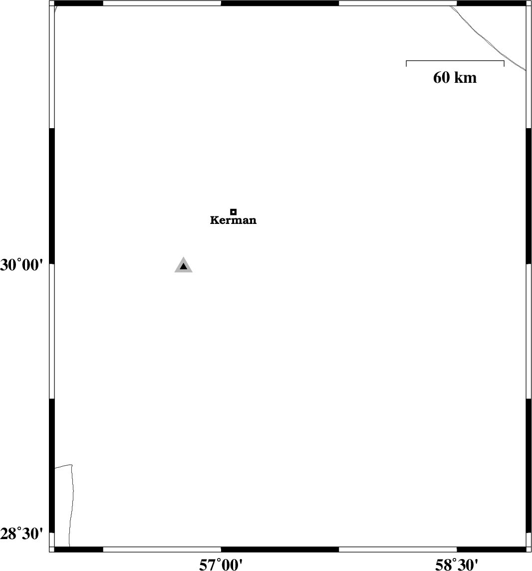
2008/05/04
|
08:16:34.8
|
12:46:34.8
| 29.92 | 57.44 | 2 |
ML:3.2
|
53 km South-East of Kerman, Kerman Province | |
|
|
2008/04/21
|
12:52:52.6
|
17:22:52.6
| 29.01 | 56.74 | 17 |
ML:3
|
27 km South-East of Baft, Kerman Province | |
|
|
2008/04/16
|
11:46:24.7
|
16:16:24.7
| 28.45 | 56.69 | 14 |
ML:3.7
|
78 km North-East of Hajiabad, Hormozgan Province | |
|
|
2008/04/14
|
05:38:01.0
|
10:08:01.0
| 28.87 | 57.99 | 15 |
ML:2.7
|
33 km North-East of Jiroft, Kerman Province | |
|
|
2008/04/11
|
19:37:41.9
|
00:07:41.9
| 28.43 | 56.86 | 29 |
ML:3
|
89 km South-West of Jiroft, Kerman Province | |
|
|
2008/04/11
|
05:43:16.4
|
10:13:16.4
| 29.17 | 56.58 | 15 |
ML:3
|
7 km Baft, Kerman Province | |
|
|
2008/04/04
|
00:13:17.1
|
04:43:17.1
| 30.68 | 57.31 | 9 |
ML:3.3
|
49 km North-East of Kerman, Kerman Province | |